
LOUISVILLE, Ky. — While Louisville isn’t officially nicknamed the “Windy City,” the past couple of months would beg to differ.
Louisville has learned to cope with 50 to 60 mph wind gusts on clear days, with 13 high-wind advisories and three high-wind warnings.
On Jan. 25, there were wind gusts of 50 miles an hour, and then in February, the howling gusts caused damage and power outages. In March around 400,000 customers lost power due to 'destructive winds' across Kentucky.
Then last night happened. John Gordon, the head of the National Weather Service in Louisville, said it’s not normal.
“We had 78 miles per hour at Ali International, March 3 we had 79 miles per hour. I’ve never seen a windier year, ever, ever, in my life than this winter,” he said.
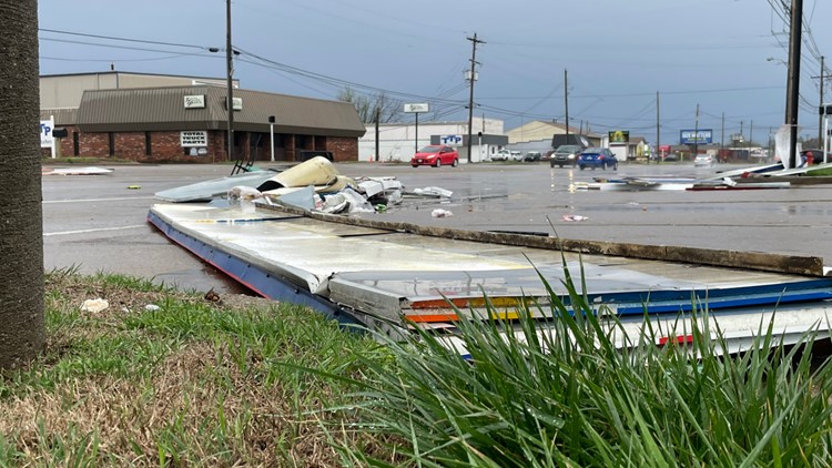
PHOTOS | Storm damage in Kentuckiana


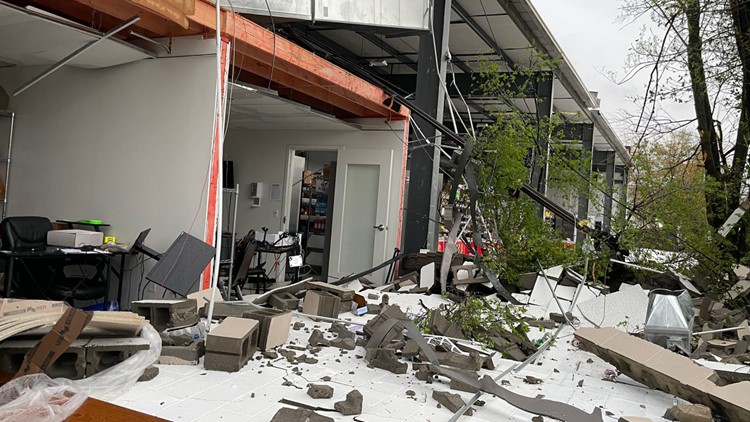

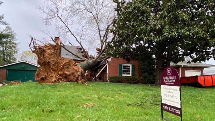

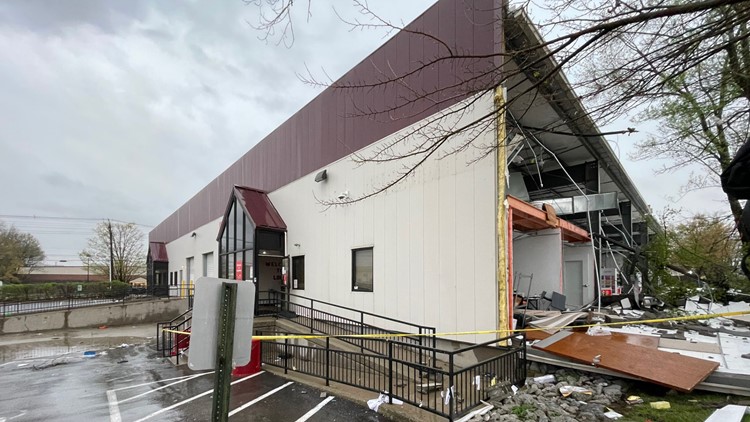

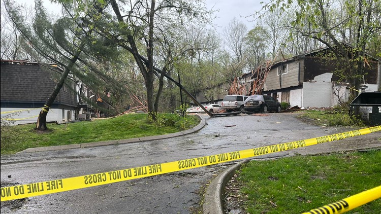


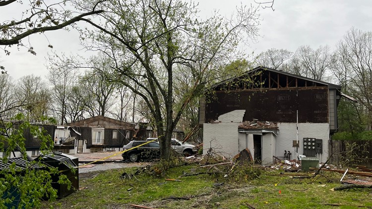

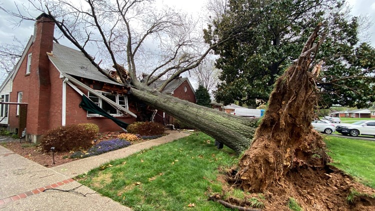

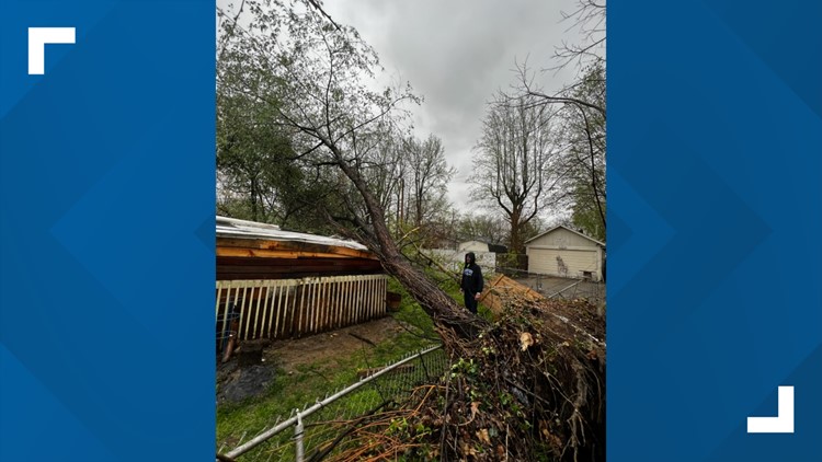

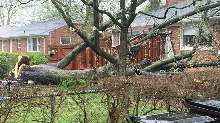

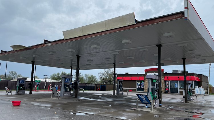

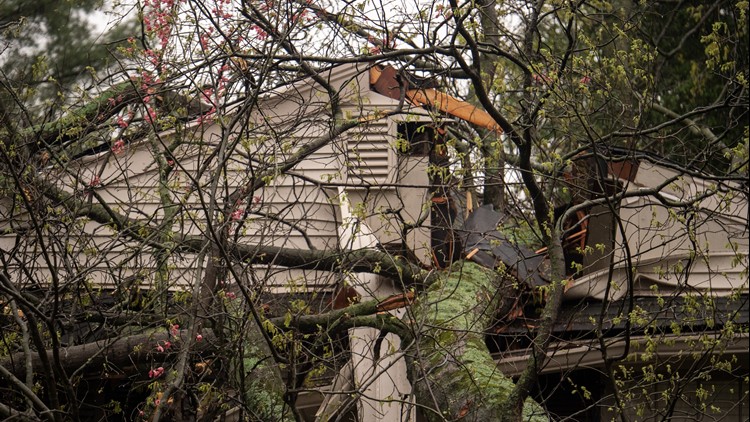


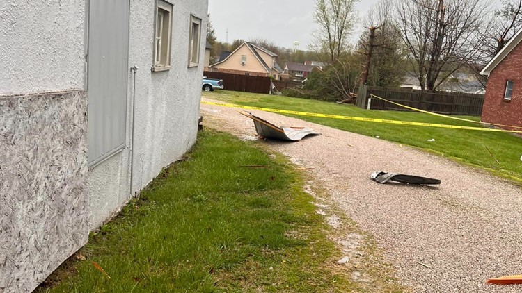

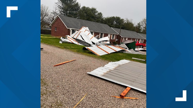

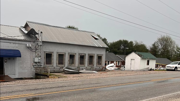

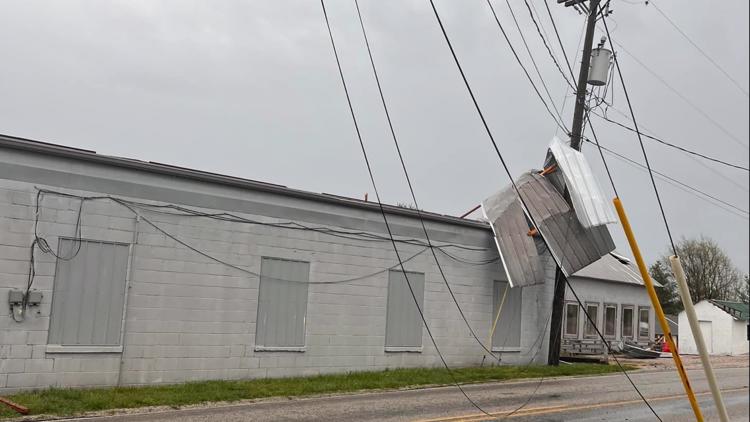
Gordon looked over damage from a tornado and high winds in Louisville that turned deadly last night and explained why Louisville has been hit like this.
“There’s a lot of cold air in the northern Dakotas into Canada, and the Gulf of Mexico is extremely warm, with water temperatures well over 85 degrees so you have a collision of warm and cold,” he said.
And in the month ahead around Thunder Over Louisville?
“We’re gonna have less wind and more warmer temperature before it kind of gets active again in May,” Gordon said.
The NWS advises doing these things on windy days:
- Watch for flying debris
- Stand clear of roadways or train tracks; wind gusts can blow you into their path
- Postpone outdoor activities
Make it easy to keep up-to-date with more stories like this. Download the WHAS11 News app now. For Apple or Android users.
Have a news tip? Email assign@whas11.com, visit our Facebook page or Twitter feed.