
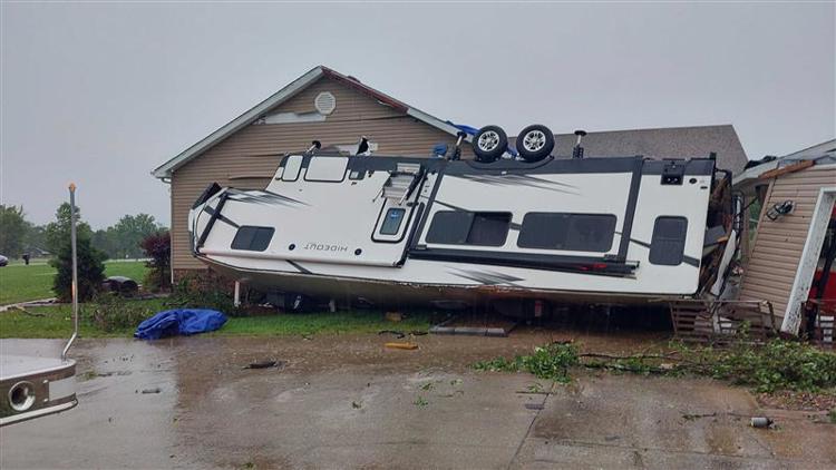
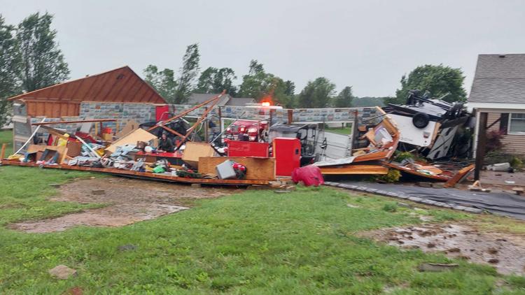
LOUISVILLE, Ky. — A quick-moving thunderstorm produced strong wind gusts of up to 65 mph in Louisville as it barreled through Kentucky and southern Indiana early Sunday afternoon.
One person was killed by a falling tree in east Louisville, according to Mayor Craig Greenberg and Louisville Metro Police.
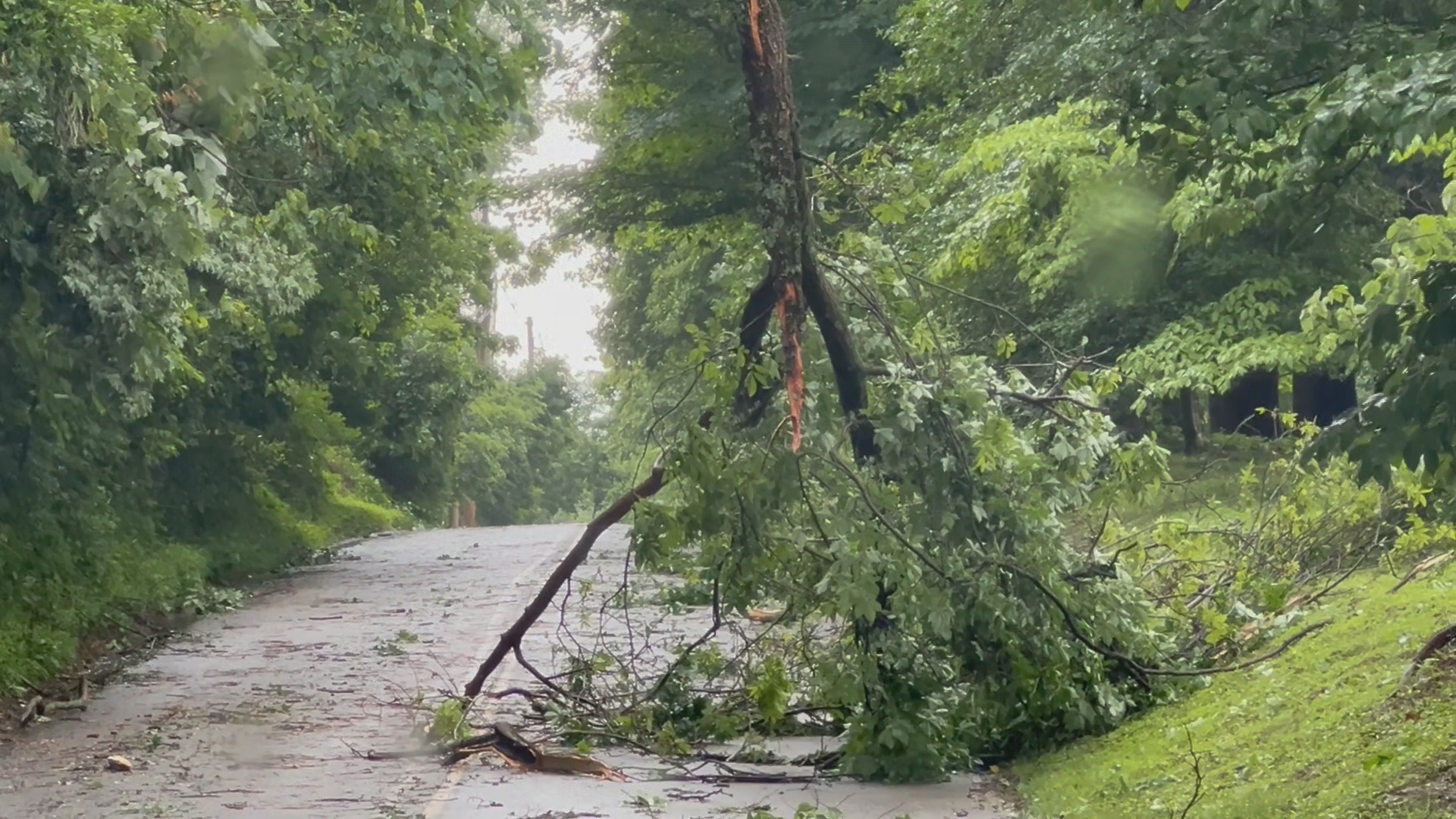
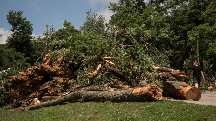
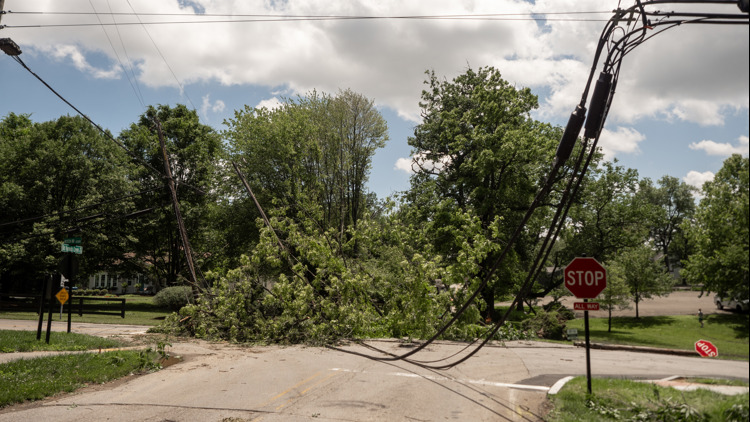
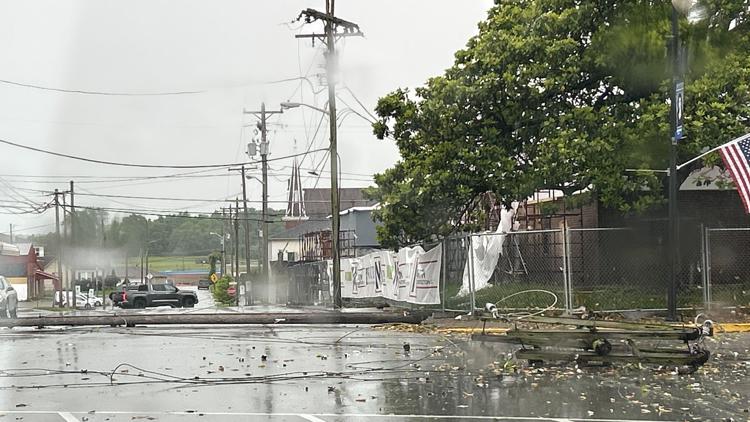
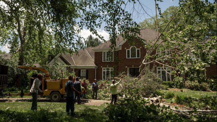
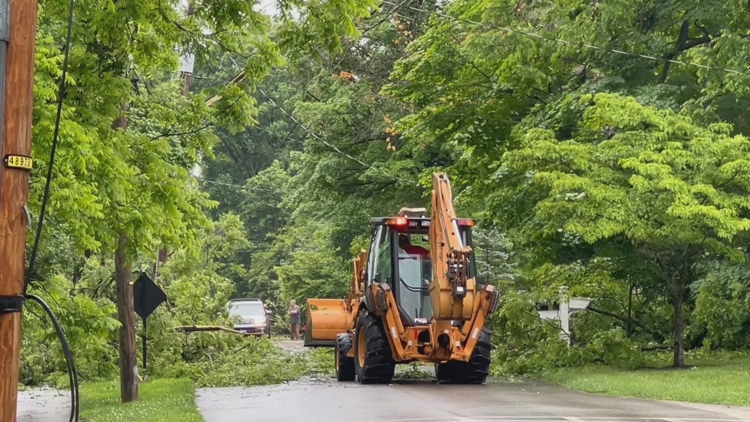
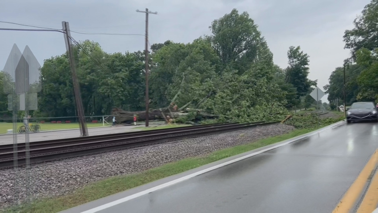
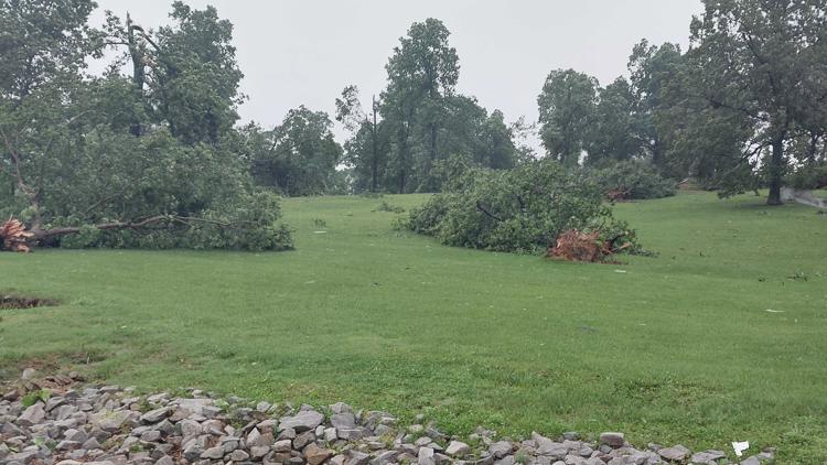
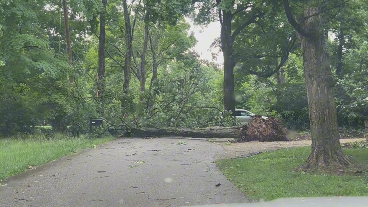
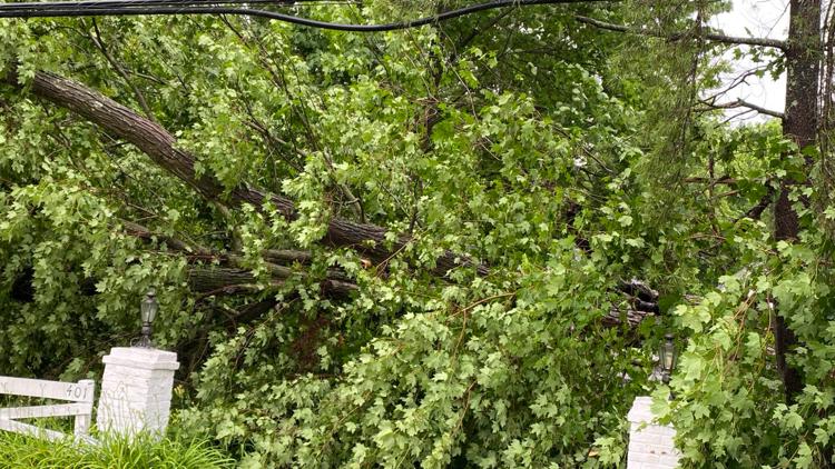
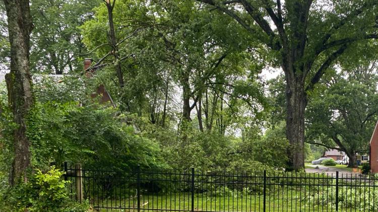
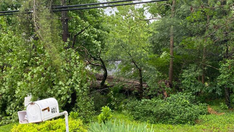
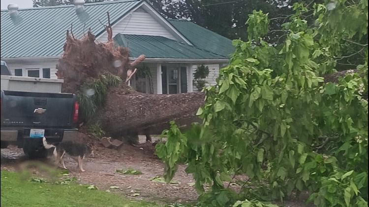
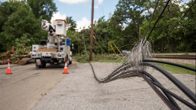
Downed trees and powerlines have also left tens of thousands of people without power across Kentuckiana.
"It's critical that people stay on the other side of the barricades. If they want to see pictures, I'll take pictures, I'll post them on the city's Facebook page, I'll go live on the city's Facebook page," Charlestown, Indiana Mayor Treva Hodges said.
Hodges said they had no injuries in the first round of storms Sunday. Charlestown closed its town square throughout the day Sunday because of downed power lines and trees. Duke Energy arrived on scene around 2:30 p.m. to work on clearing powerlines in the town square.
As of 9:30 p.m., 304 Duke Energy customers in Charlestown were still without power.
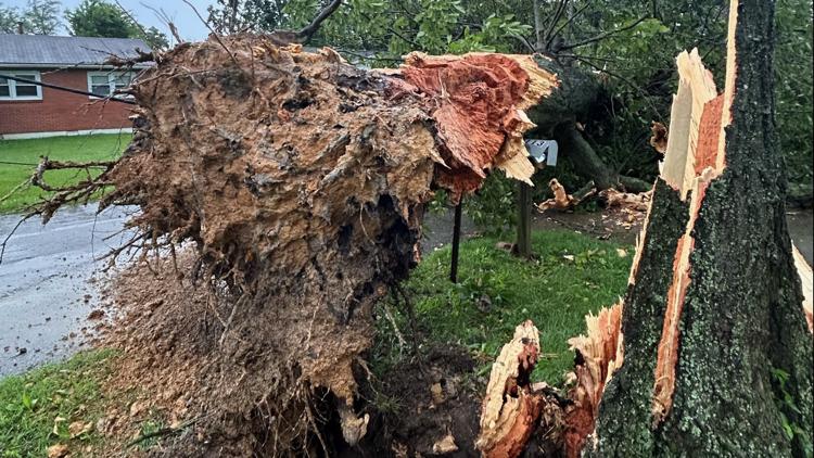
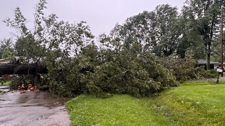
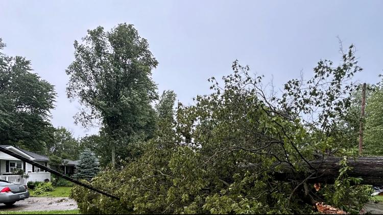
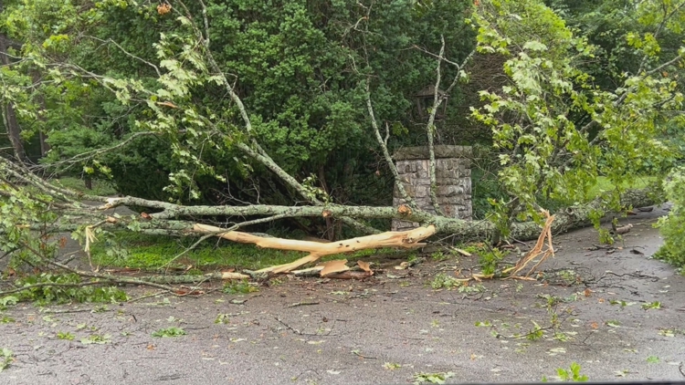
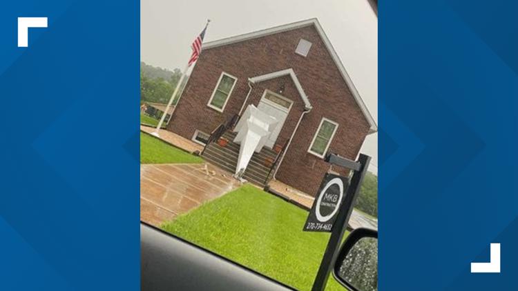
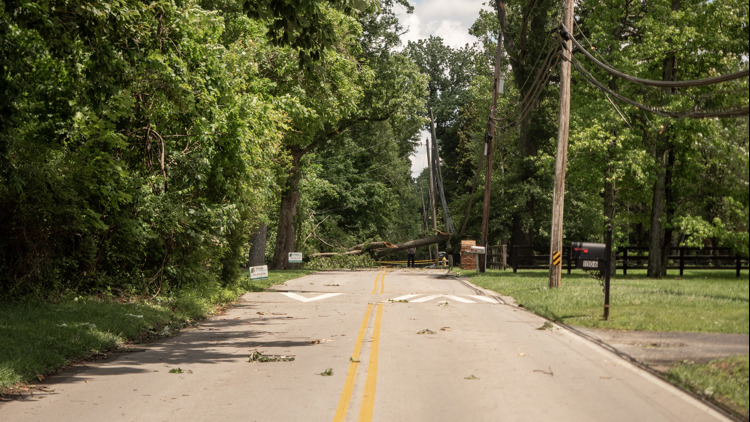
PHOTOS: Damage from strong storms in Kentucky, Indiana on May 26, 2024


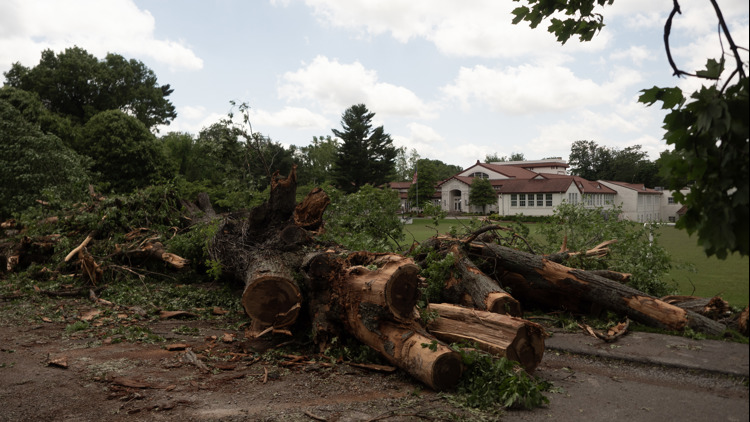


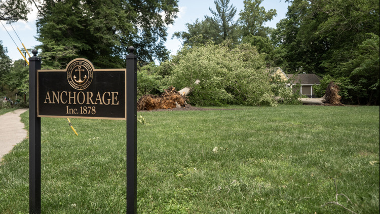


"I looked at the weather app and saw the huge line of color was basically in Louisville...as we pulled in, we saw lots and lots of trees and limbs on the ground," Allison Spurgeon said, who lives in the Owl Creek Neighborhood between Lyndon and Anchorage.
The intersection where Ward Ave. turns into Beech Rd. as it enters Anchorage was closed due to several large trees blocking the roadway. A dispatcher for Anchorage Police said around 6:15 p.m. that LG&E needs to clear all power lines before their city crews can clear debris. At that time they were working on Evergreen Road.
Another round of severe weather is expected later Sunday evening. Damaging winds, heavy rain resulting in localized flooding, and even tornadoes are possible.
Much of Kentucky and southern Indiana remains under an enhanced risk for severe weather this evening, a level three out of five. Continue to stay weather aware Sunday evening as the second line of thunderstorms makes its way to the region.
Trends indicate some clearing behind the rain, which could result in powerful storms within our next wave tonight. If the sky doesn’t clear, the atmosphere won’t have as good of an opportunity to re-supply the fuel thunderstorms need to be strong.
Download the free WHAS11 app to watch live coverage during severe weather and get real-time weather alerts, even if your power goes out. For Apple or Android users.
Have a news tip? Email assign@whas11.com, visit our Facebook page or Twitter feed.