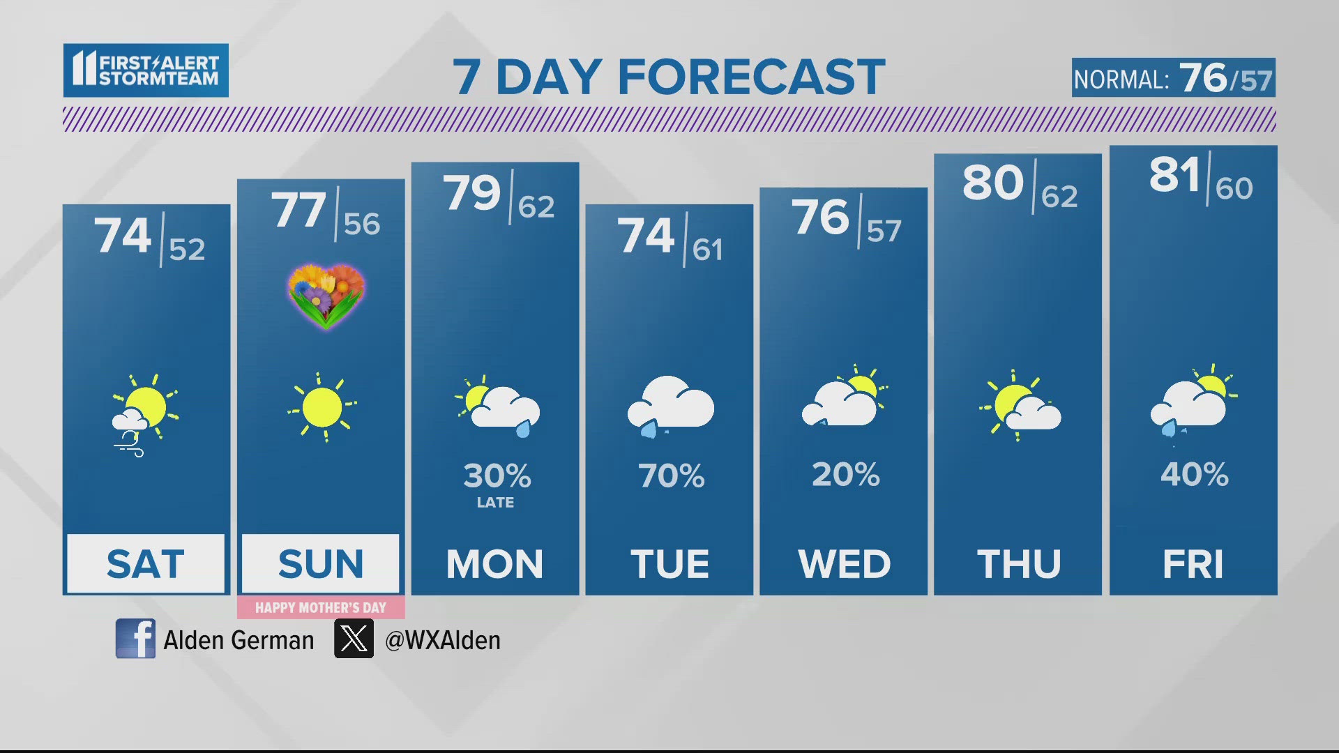
Our above average temperatures will finally depart once we make it to the weekend thanks to a cold front bringing in cooler air and also a few chances for some showers and storms.


With the first day of fall arriving on Saturday, many may be wondering when our temperatures will cool down for the season. We can tell you we're expecting the cooler air to stick around thanks to a dip in the jet stream next week.


Right now the jet stream is being held up to our north and that has allowed heat from the South to keep our temperatures above average. The jet does start to dip by the middle and end of next week which will allow cooler air to sneak in from the north.


Once that cooler air moves in we can expect highs in the 70s and lows in the 40s and 50s! It will definitely feel like fall as we get closer to the end of September and enter October.


The cooler trend is evident in our 11-day trend graphic. We'll also see repeated rounds of rain into next week due to a stalled our frontal boundary just to our south along the Kentucky/Tennessee border. By the end of September, we could be looking at slight flooding issues due to an excessive amount of rainfall over the next 7-11 days.


We are also losing daylight as we get into the Fall season. As of September 22, our sunset will be approximately 7:39PM. Just one month later, our sunset falls before 7PM at approximately 6:55PM. Looking ahead to November we really see the decrease in daylight with our sunset happening in the 5PM hour at approximately 5:26PM.
►Contact meteorologist Kaitlynn Fish at kfish@whas11.com. Follow him on Twitter (@KaitlynnFish), Facebook and Instagram.


