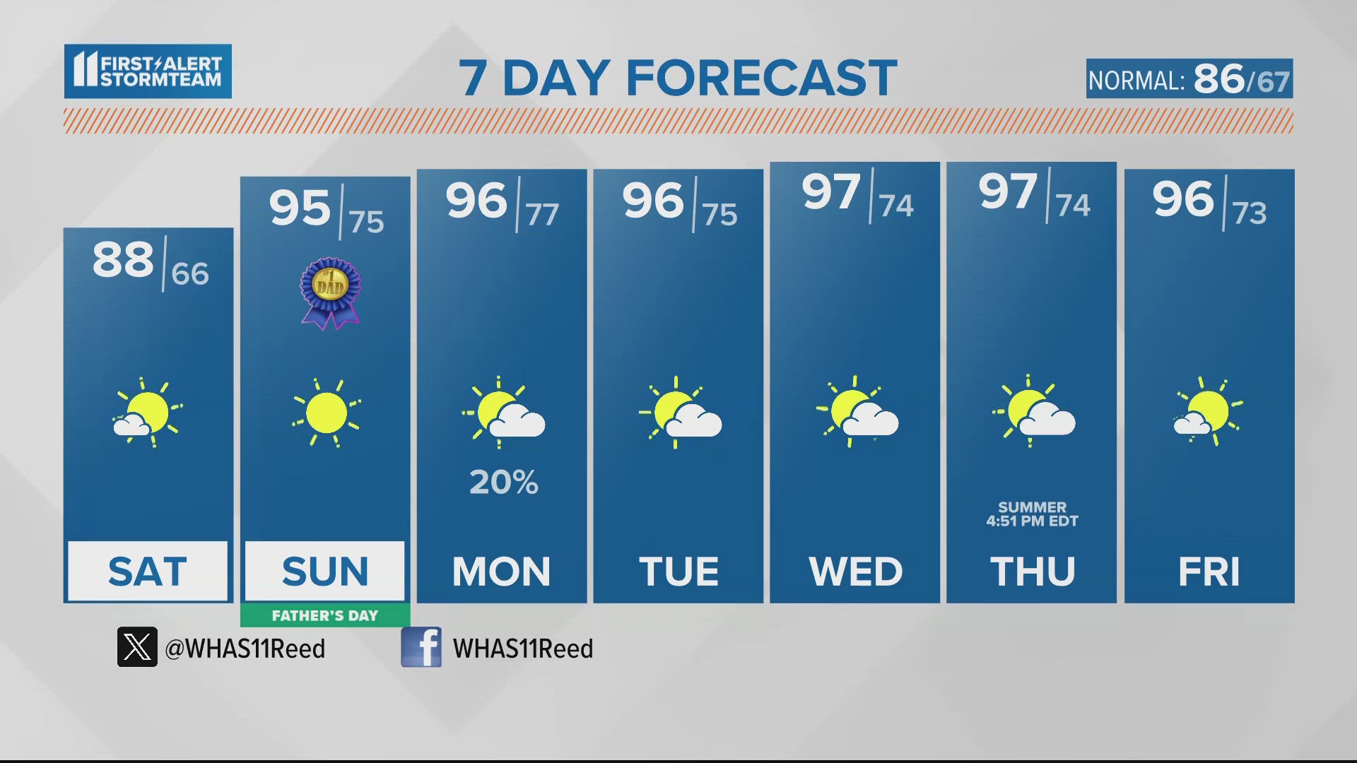
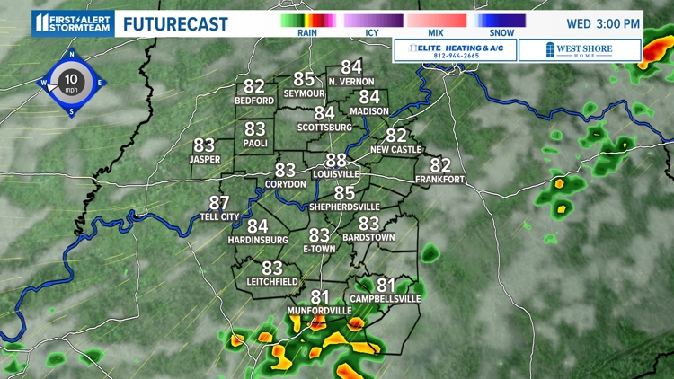
LOUISVILLE, Ky. — It has been sunny and downright hot so far this week thanks to high pressure and a strong south wind. Conditions will change a bit later on Wednesday, however.
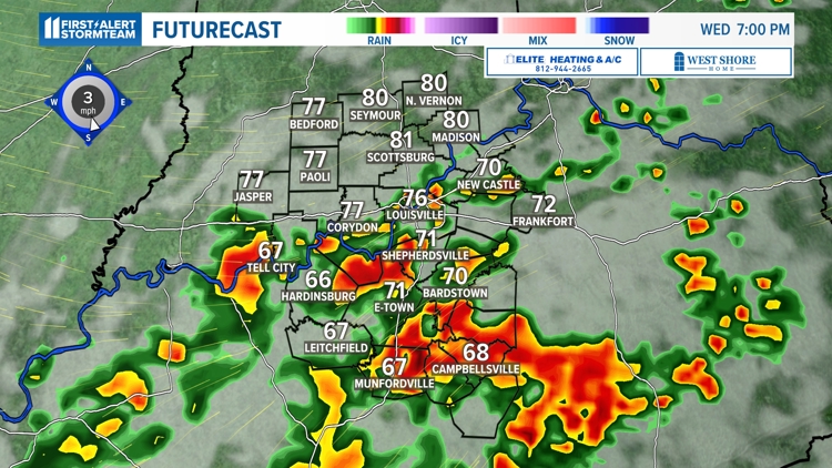
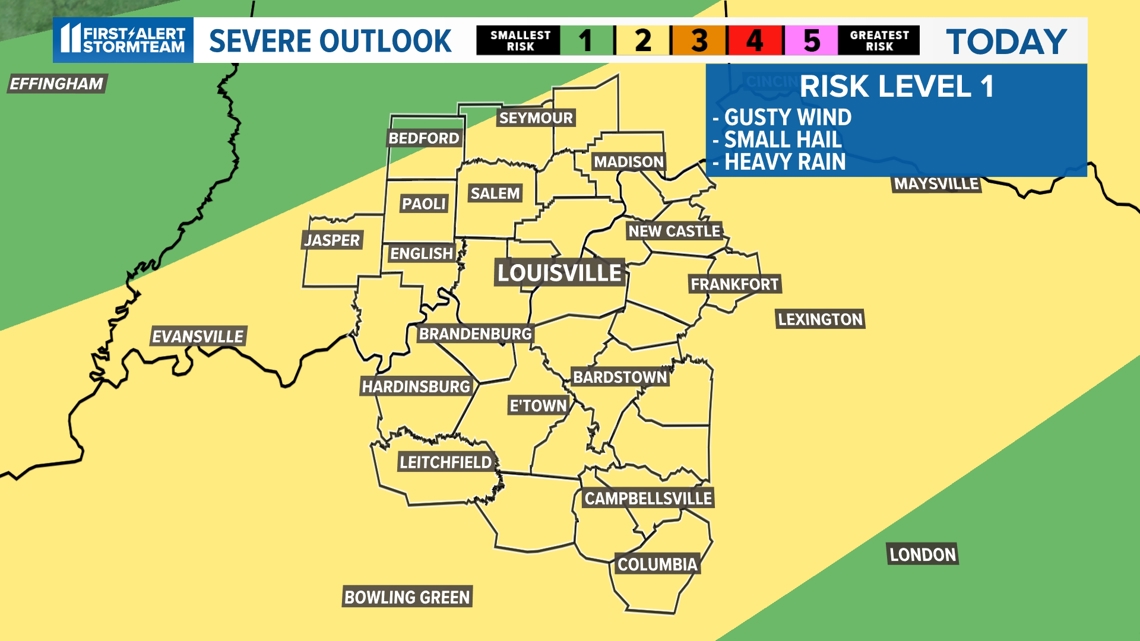
Isolated strong, to at times severe, storms will organize around sunset and into the evening hours. There will be enough ingredients in our atmosphere for these storms to produce hail, strong wind and locally heavy rainfall.
Keep in mind, there is low risk for tornadoes in the forecast, as well, but the chance is low.

Timing of severe weather
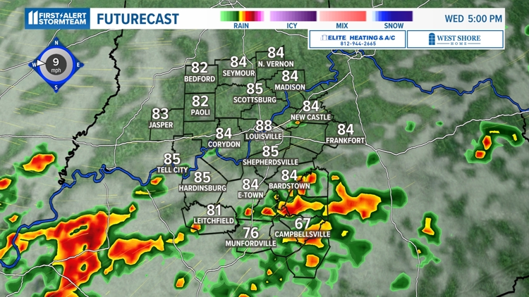
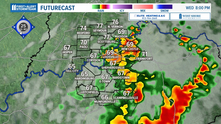
Wednesday's storms will likely impact our region around the dinner hour and into the evening hours. The main timing of storms appears to be from 7 p.m. to 10 p.m.
Make sure you bring any sort of patio furniture indoors and tend to anything that may easily blow around outdoors because strong wind gusts will make for hazardous conditions.
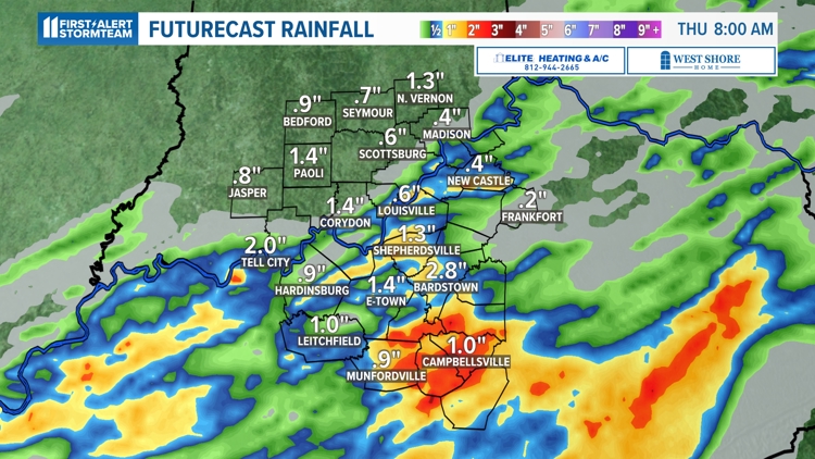
Heavy rainfall is in the forecast but it will not be widespread by any means.
Localized ponding of water on the roads, and streams and rivers may exceed their banks with the localized heavy rain.
Isolated strong to severe storms today and tonight


Heading into the end of the week
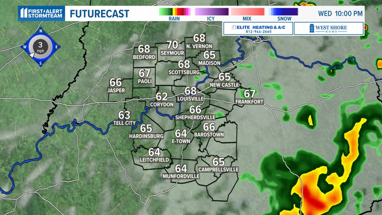
The storms will veer out of our area by midnight Wednesday evening and will leave us with a relatively humid, but dry remainder of the night. Plan on a lot lesser chances for storms into Thursday and Friday.
The Storm Prediction Center (SPC) has issued a very low risk for severe weather on Thursday.

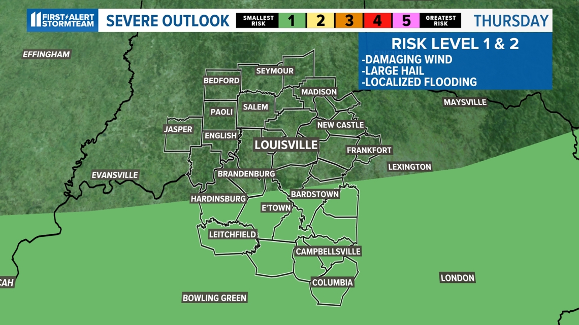
Some passing storms are in the forecast during the day with the only risk of a lone strong-to-severe storm popping up anywhere from Hart County, to Bardstown and Columbia.
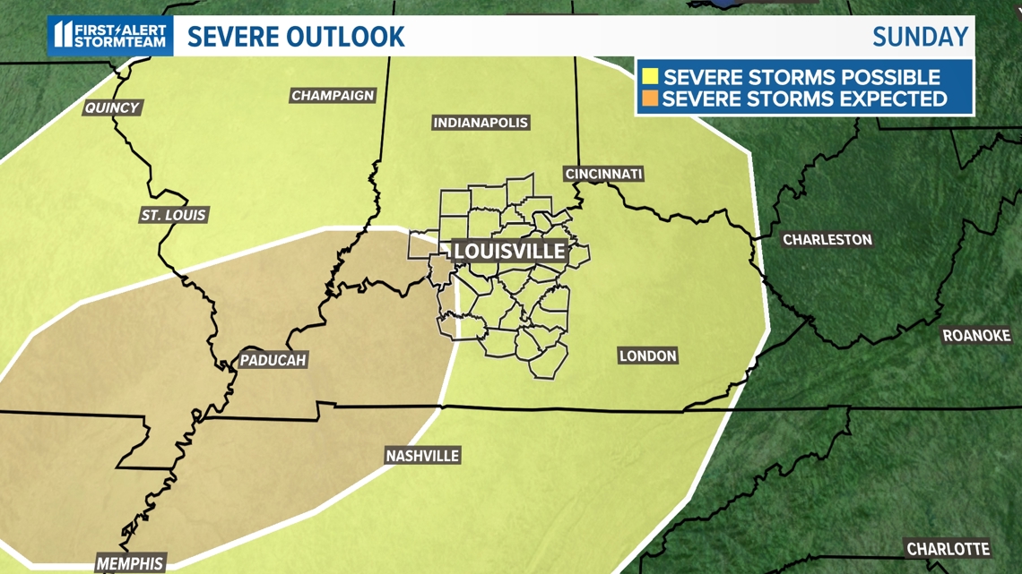
The SPC also has central Kentucky and southern Indiana eyeballed in a chance for strong to severe storms on Sunday as well.. This is the same time when Memorial Day weekend travel will be ramped up. Conditions may quickly change, so make sure you keep an eye on the latest forecast for any holiday plans.

Make it easy to keep up-to-date with more stories like this. Download the WHAS11 News app now. For Apple or Android users.
Have a news tip? Email assign@whas11.com, visit our Facebook page or Twitter feed.