
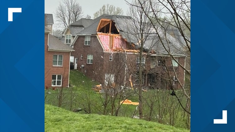
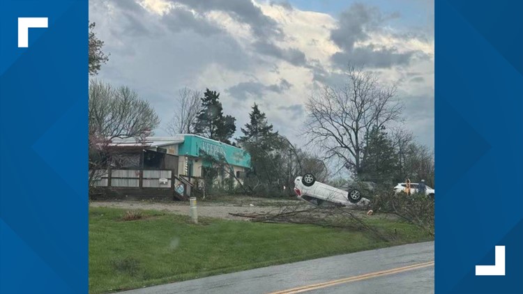
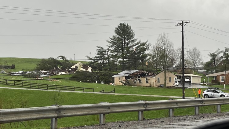
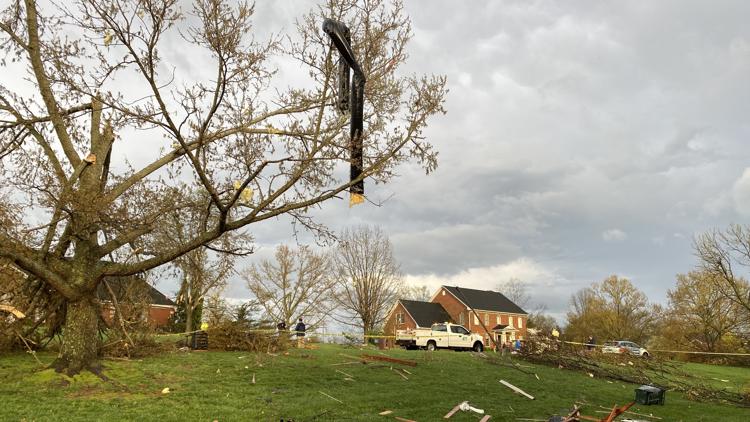
LOUISVILLE, Ky. — There have been multiple reports of damage after a strong line of severe weather barreled through Kentucky and southern Indiana on Tuesday.
Strong wind gusts, heavy rain, and even a few radar-indicated tornadoes, were reported early Tuesday morning. Another round of strong storms is expected in the afternoon and early evening hours.
RELATED: Moderate risk for severe weather, tornadoes for these Kentucky and Indiana counties Tuesday
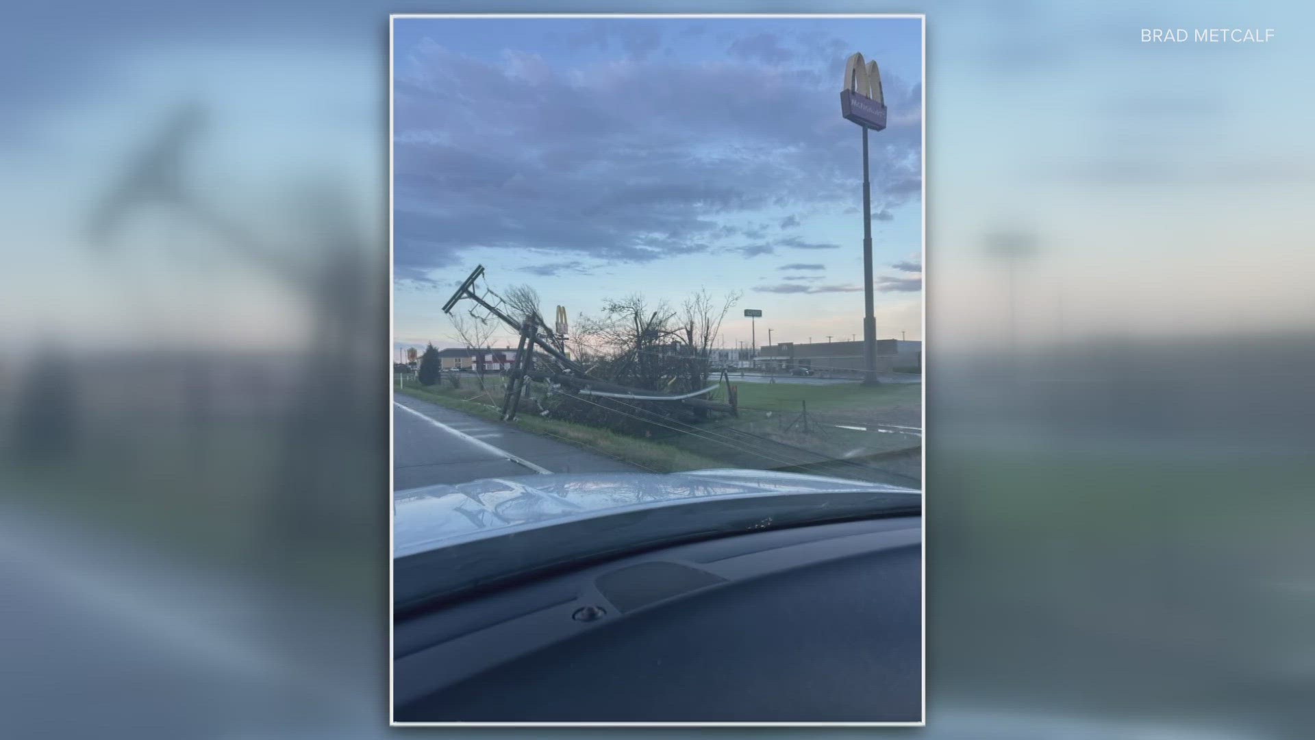
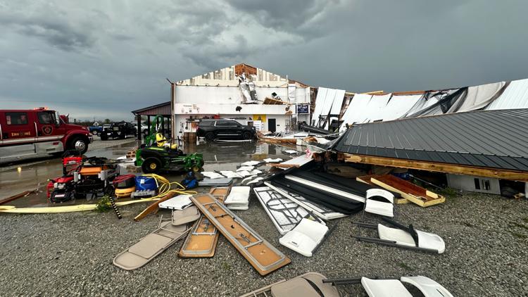
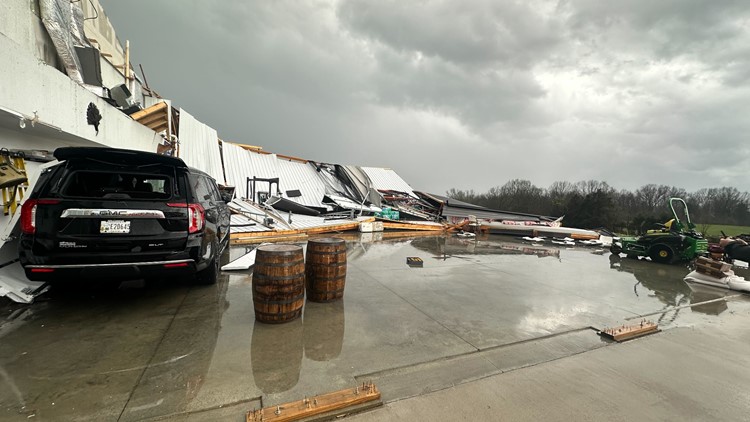
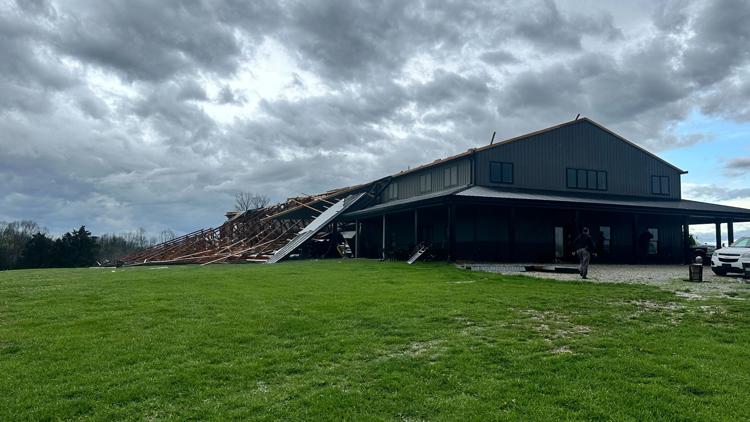
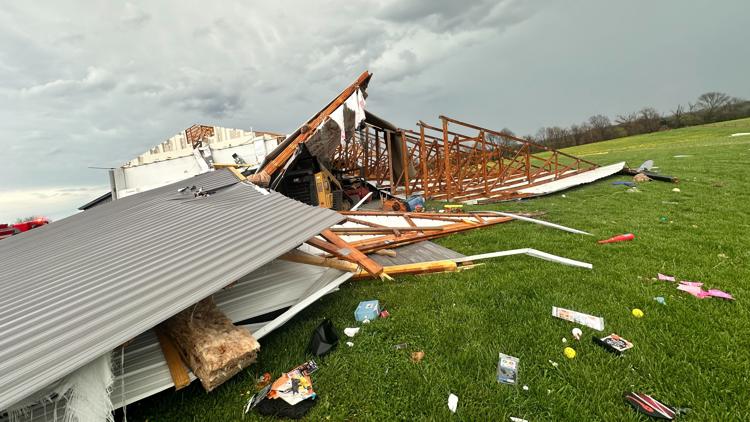
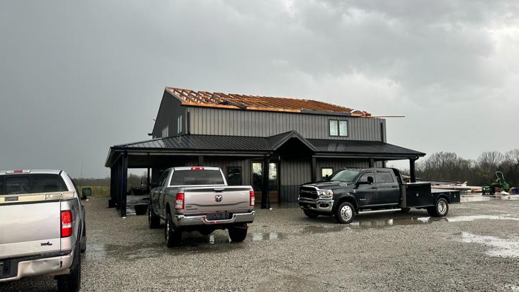
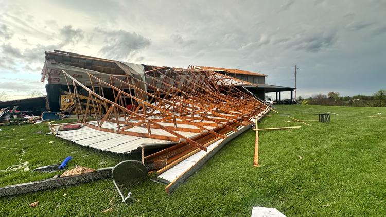
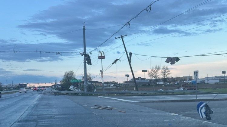
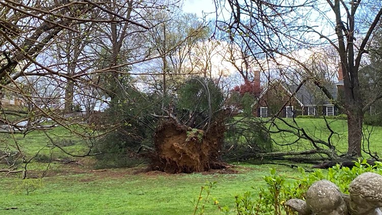
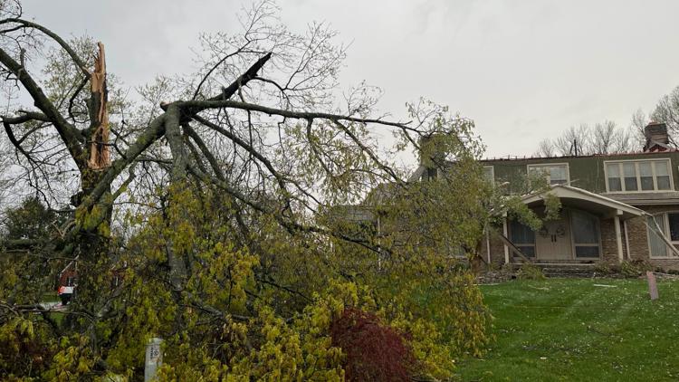
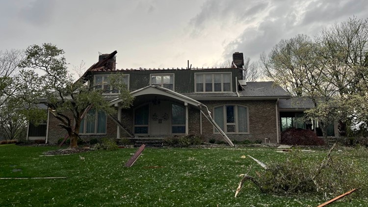
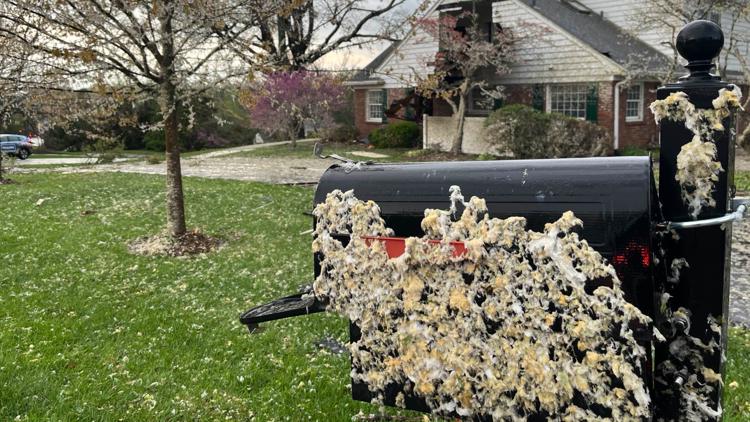
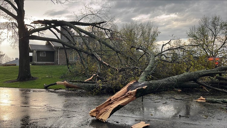
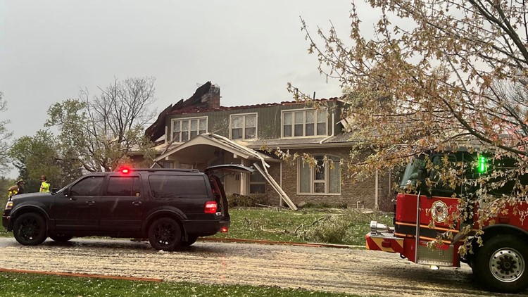
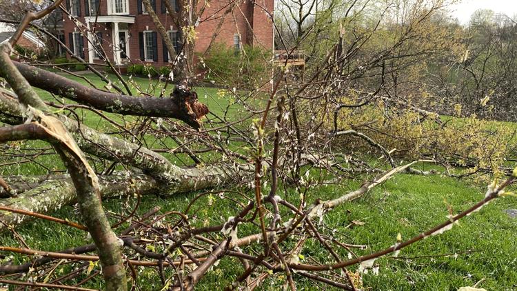
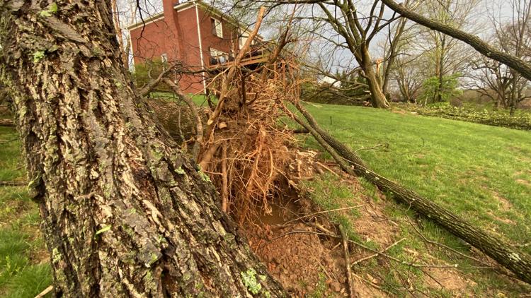
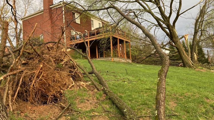
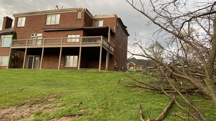
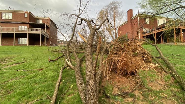
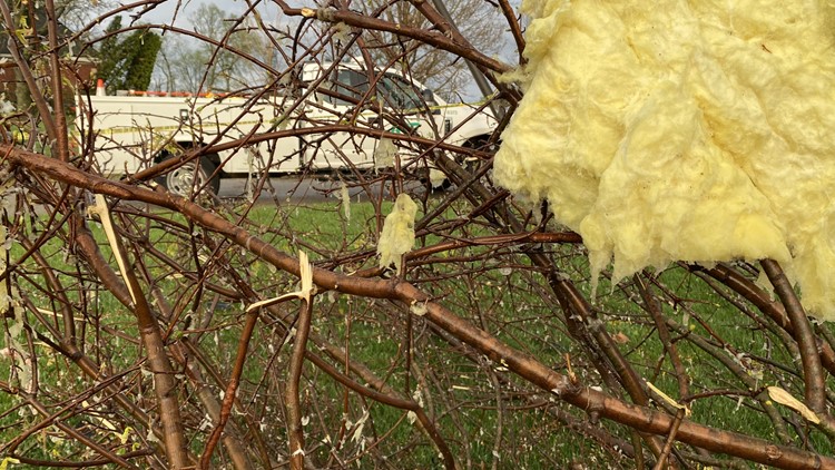
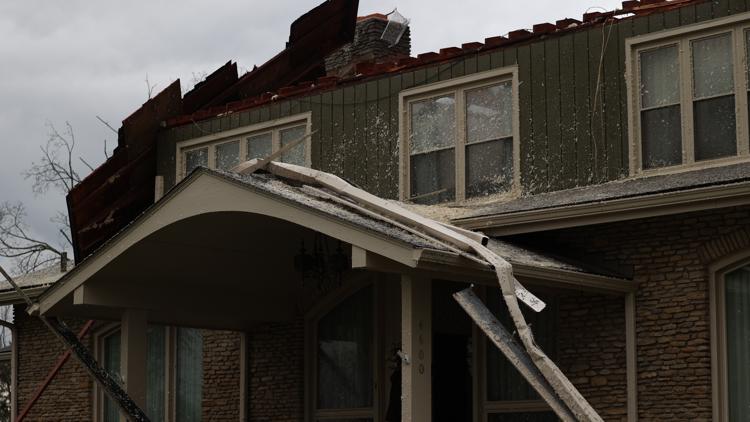
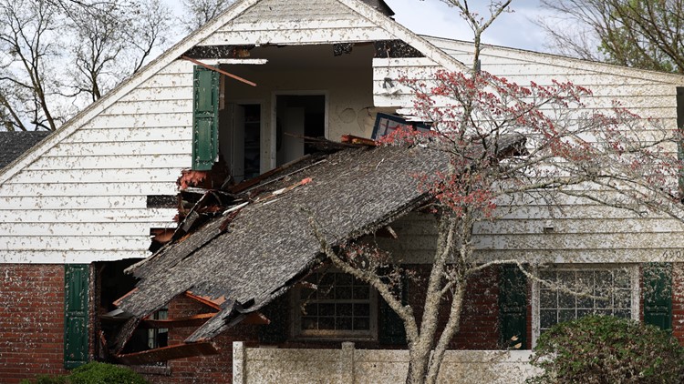
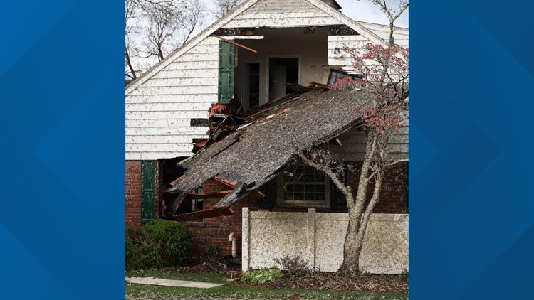
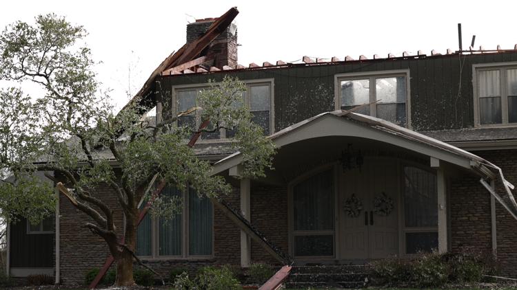
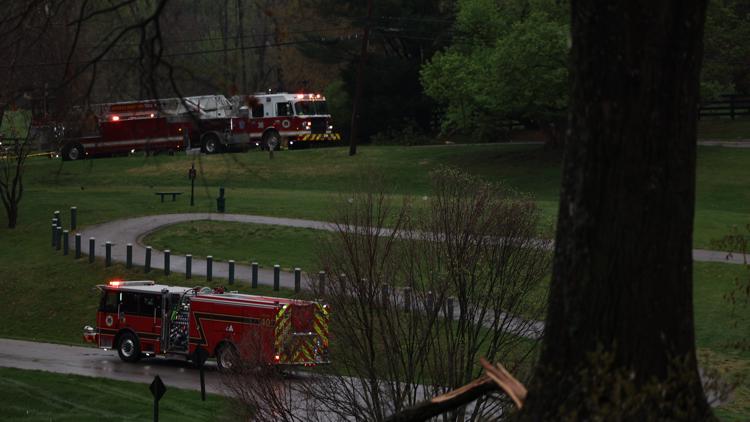
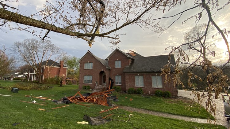
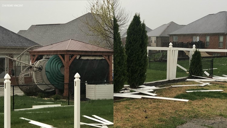
Following Tuesday's first round of severe weather, multiple structures were damaged in Nelson County, with several buildings losing their roof. Debris could be scattered across yards as well.
The National Weather Service of Louisville (NWS Louisville) said a preliminary survey found an EF-1 with 95 mph hit just northeast of Chaplin in Nelson County. A survey of damage continues at this time, officials added.
Governor Andy Beshear said another EF-1 tornado was confirmed in Anderson County. The NWS is also surveying damage in Mercer County, he said.
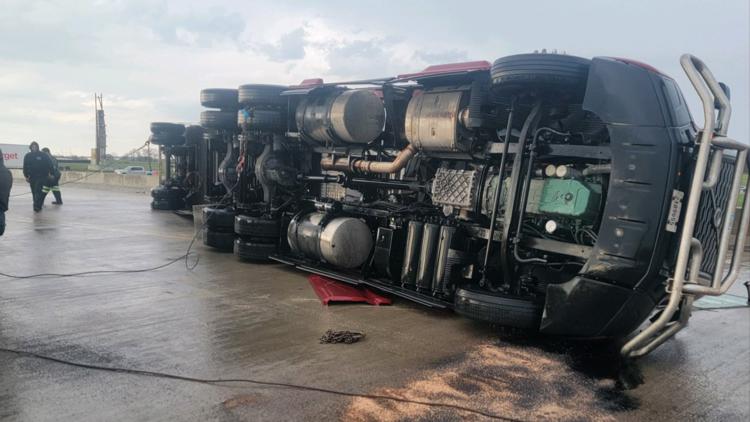
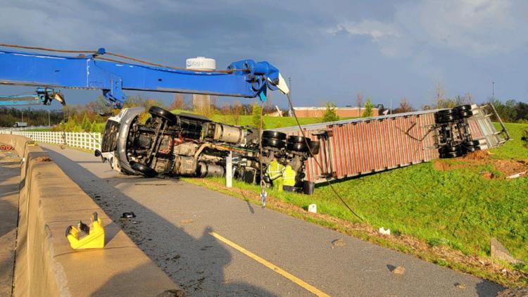
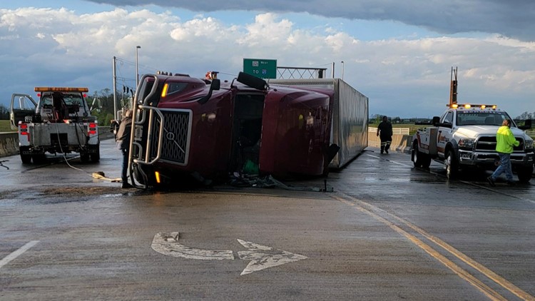
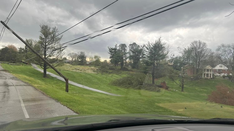
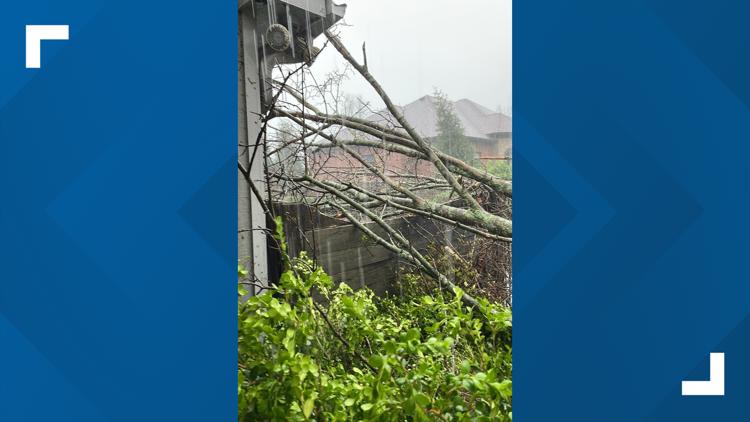
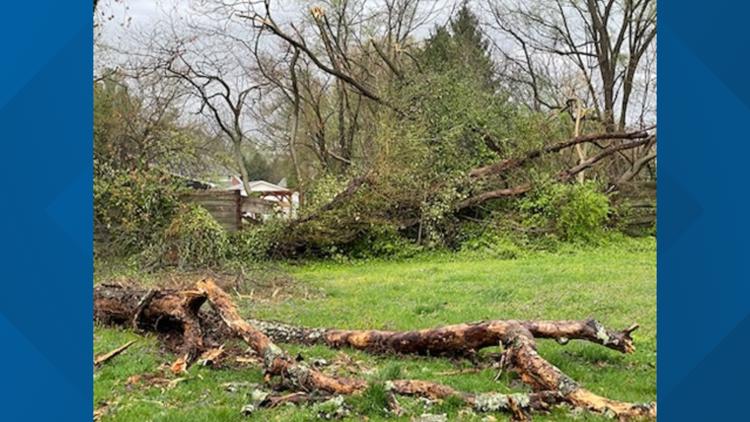
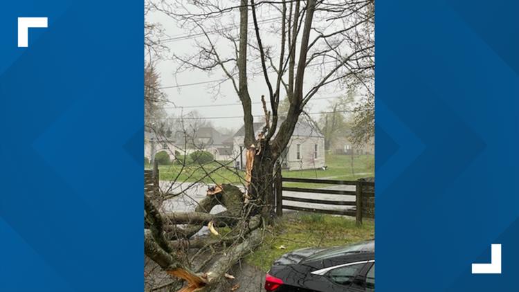
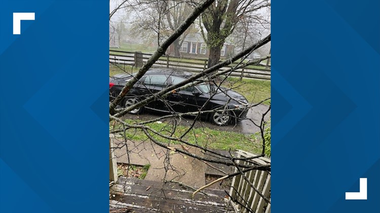
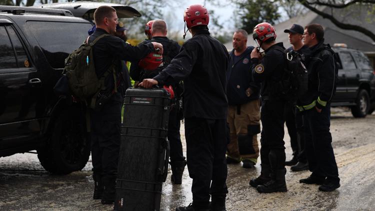
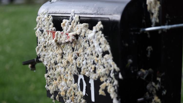
PHOTOS: Storm damage reported across Kentucky, Indiana on April 2, 2024


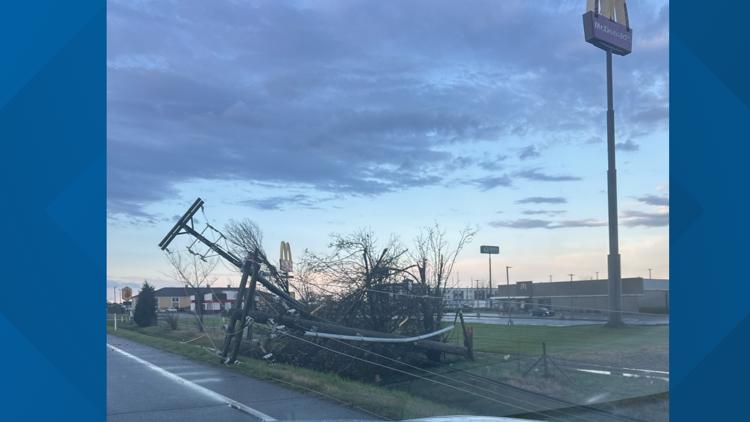


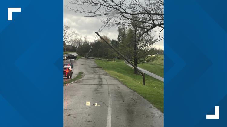


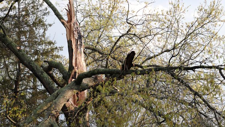


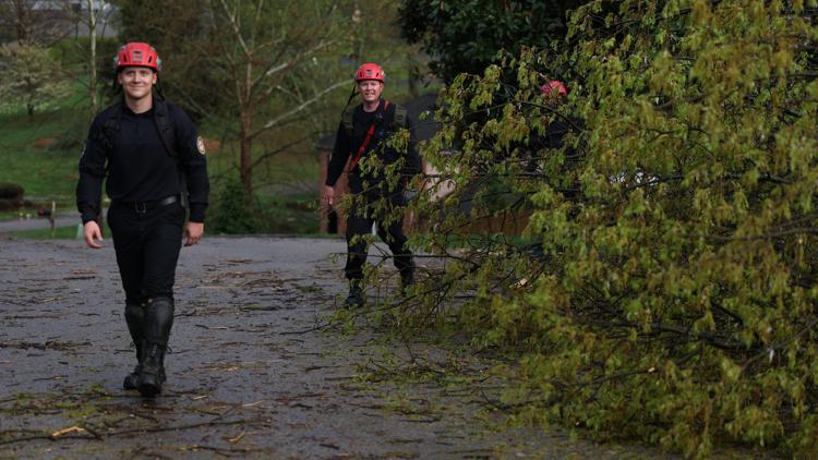


Over in the Lexington, downed trees and powerlines were reported on the University of Kentucky's campus.
A similar situation could be seen in Vanderburgh, Indiana where a gas station and hotel received substantial damage from the powerful storms.
If you have any photos of storm damage in your area, be sure to text us with your name and location at (502) 582-7290. Please only take a photo if it is safe to do so. Avoid downed powerlines as they could still be active.
It's unclear if there are any reported injuries in any part of Kentucky or southern Indiana at this time.
A large portion of Kentucky, including Louisville, remain under a moderate risk for severe weather on Tuesday.
The greatest tornado risk is from 3 p.m. to 8 p.m., but Keep in mind that straight-line wind gusts with these storms may also clock between 60-70 mph, producing hail and very heavy rainfall.
Download the free WHAS11 News app now to receive the latest weather alerts from the First Alert StormTeam. For Apple or Android users.
Have a news tip? Email assign@whas11.com, visit our Facebook page or Twitter feed.