

LOUISVILLE, Ky. — Survey crews with the National Weather Service have worked their way through Kentucky to assess the damage left behind by the April 13 storms.
As of Wednesday, April 27, nine tornadoes have been confirmed across multiple counties, including Jefferson and Shelby County.
No serious injuries or deaths have been reported in association with these storms.
Jefferson County
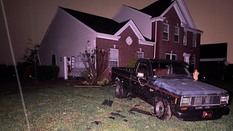
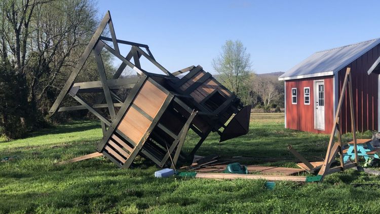
In Jefferson County, the areas that sustained the most damage are in the southeastern parts of the county including Fern Creek and Glenmary.
John Gordon with the National Weather Service said there was one tornado in Jefferson County. He said it started out as an EF-0 tornado at 80 mph winds then increased to 97 mph winds in the Providence area of Glenmary reserves.
Louisville Mayor Greg Fischer announced Thursday that the city is under a state of emergency due to the severity of the damage.
Debris collection for Jefferson County residents will be available from April 15 to April 30 through the Department of Public Works.
According to LG&E's power outage map, almost 20,000 people lost power in Jefferson County during the height of the storm. That number was down to less than 1,000 by Friday morning.
Additional reports
The National Weather Service said initial reports show at least three tornadoes hit Shelby County, two EF-1 and one a possible EF-0. Surveys are ongoing in that area.
In Spencer County, the survey team has found two small tornadoes, likely EF-0 with peak winds of 80 mph. These were found in the Meadow Lakes and Plum Creek Rd. areas, according to NWS.
Additionally, the NWS confirms indications of an EF-1 tornado around the Grayson, Edmonson, LaRue and Hart County area.
Further reports will be released as the crews find more damage.
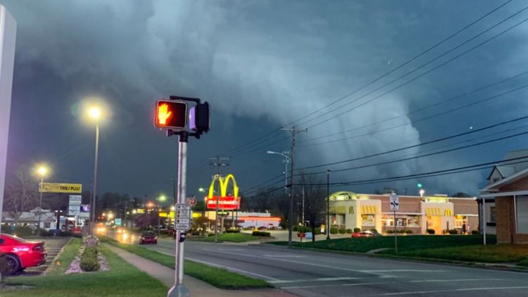
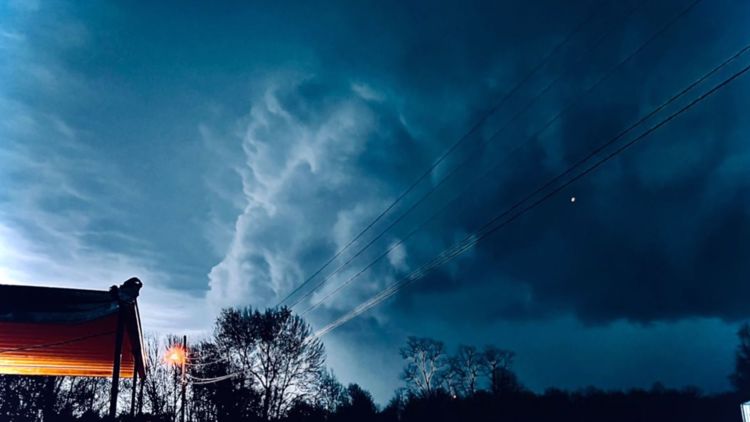
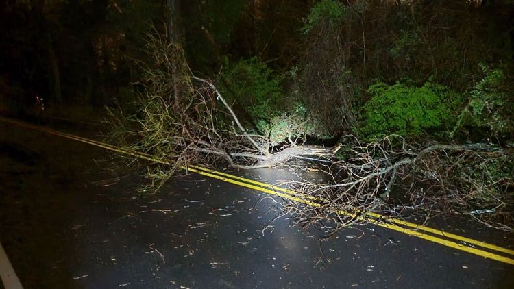
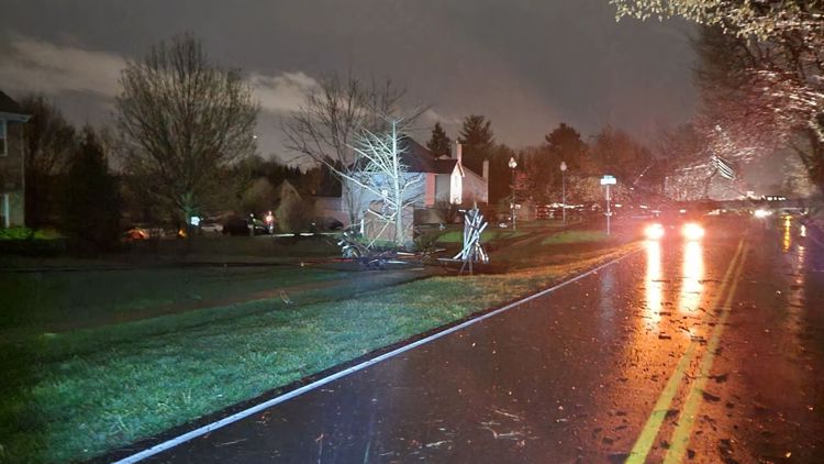
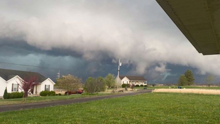
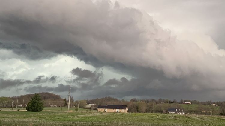
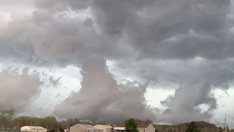
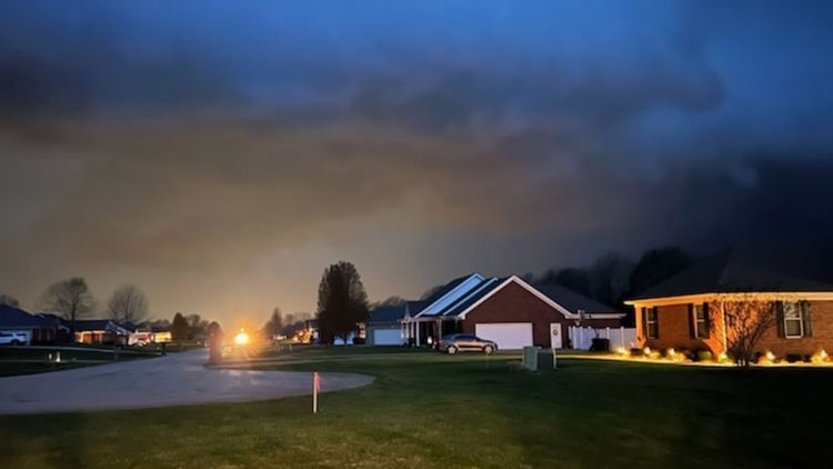
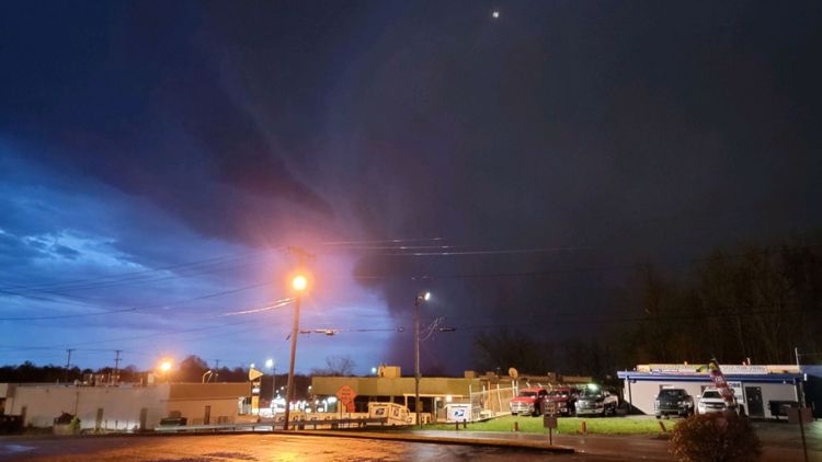
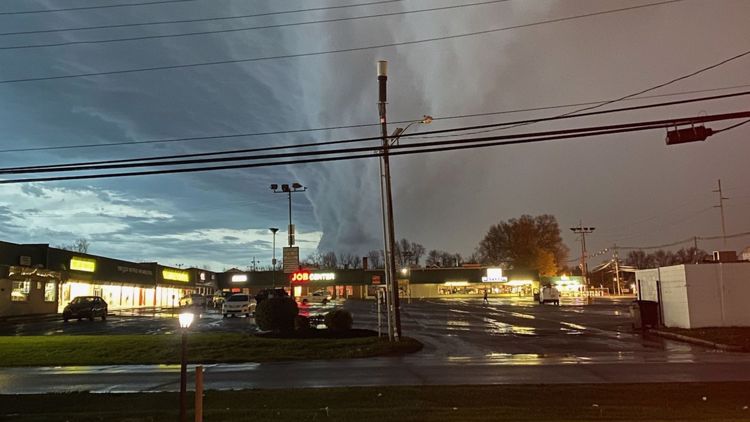
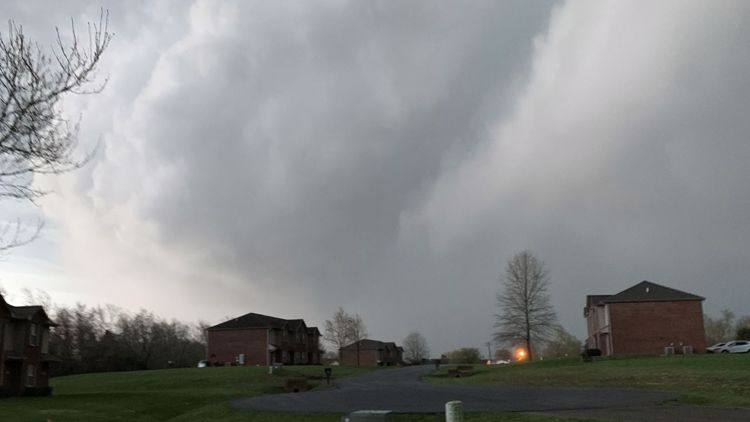
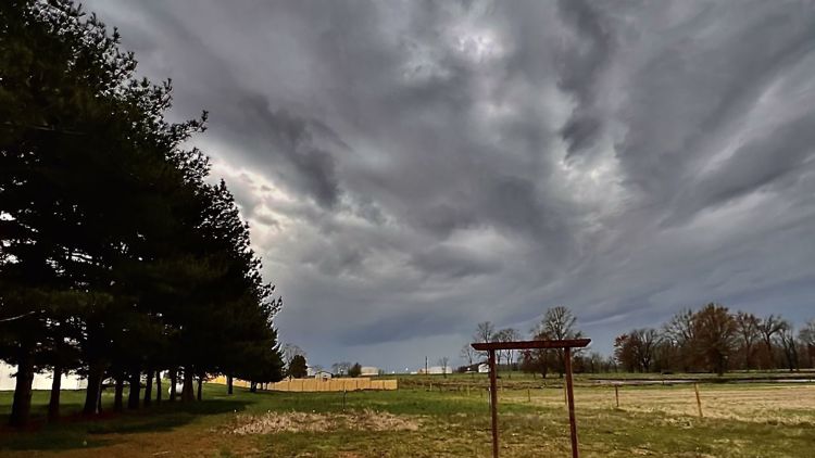
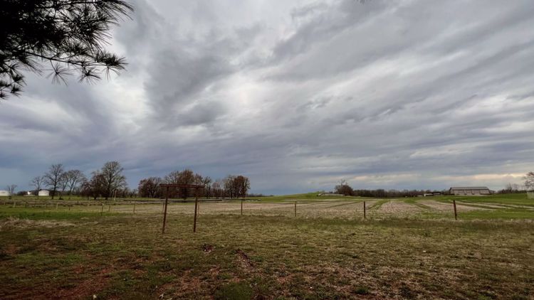
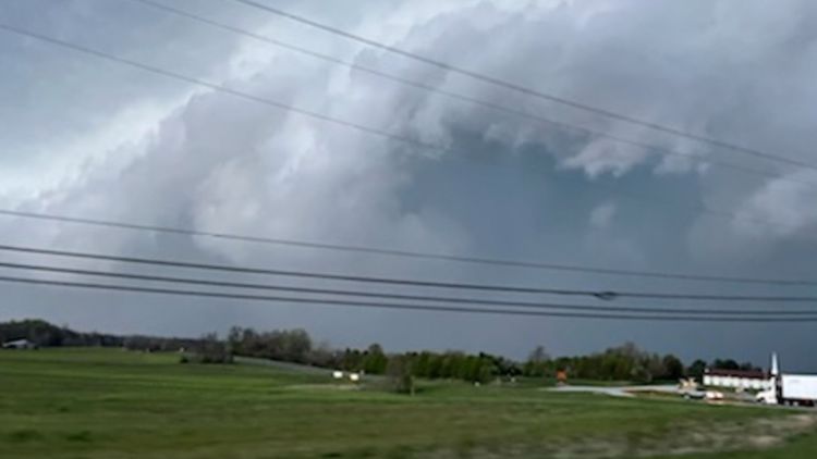
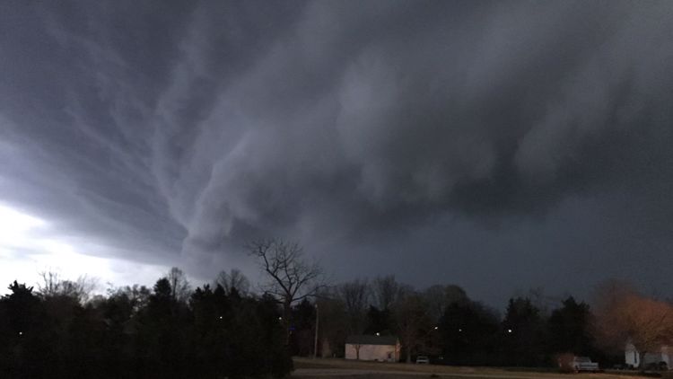
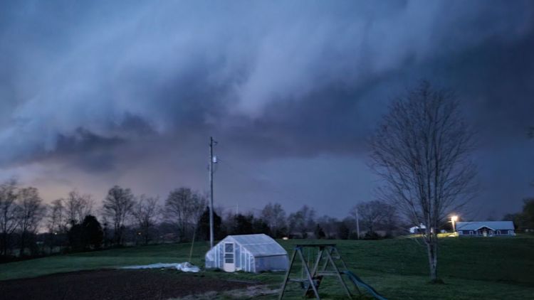
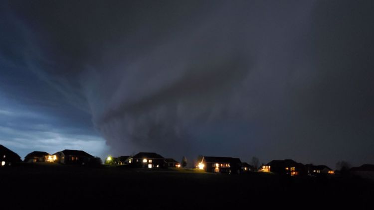
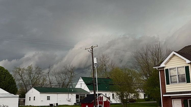
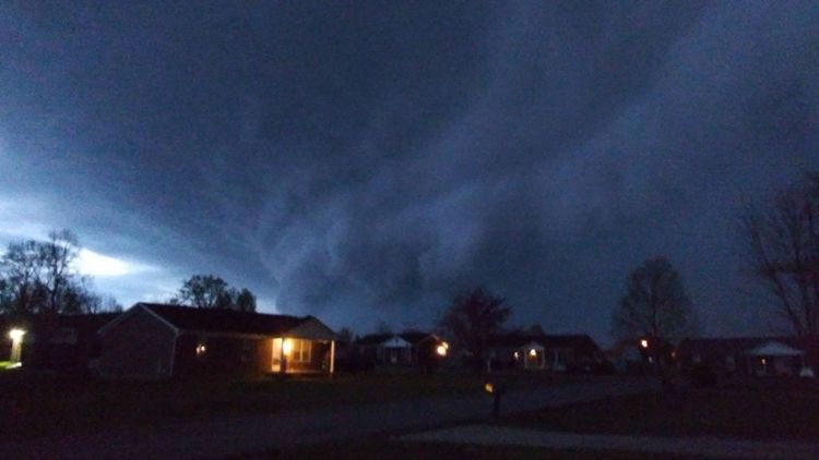
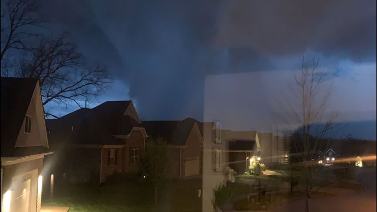
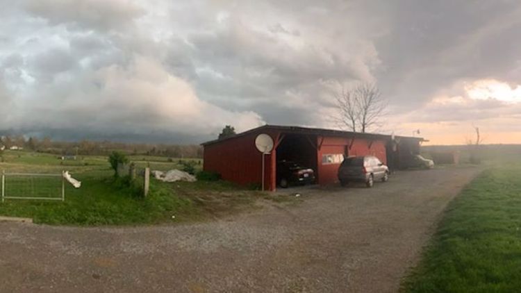
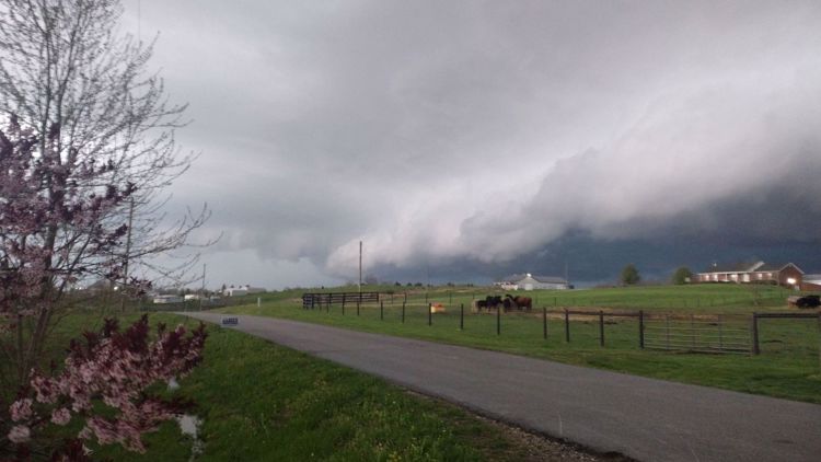
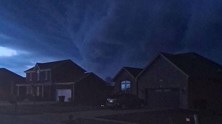
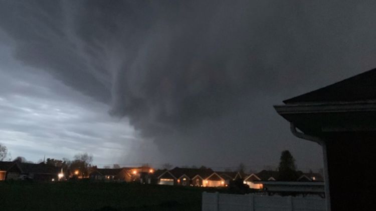
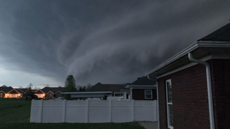
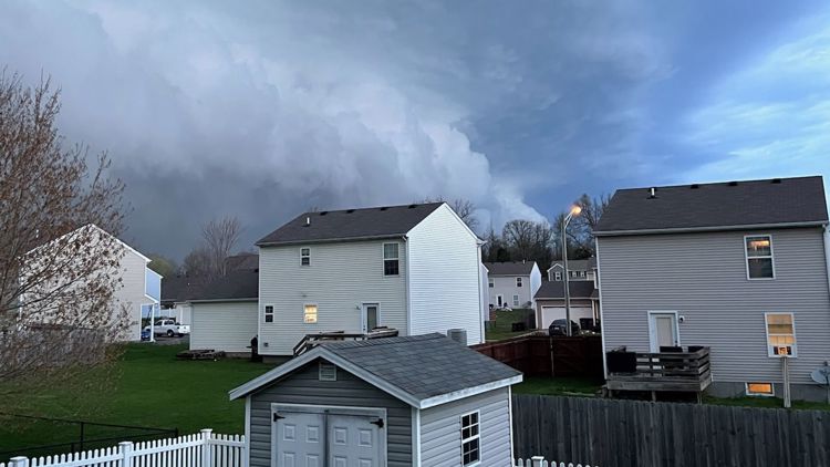
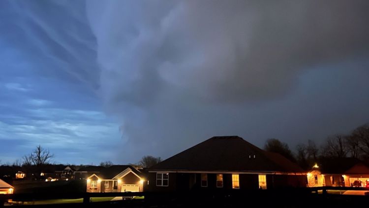
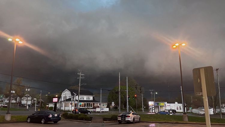
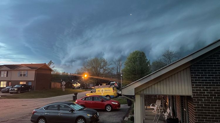
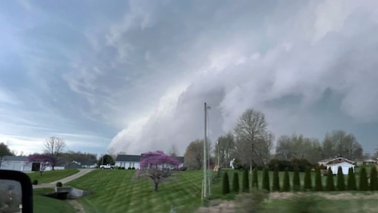
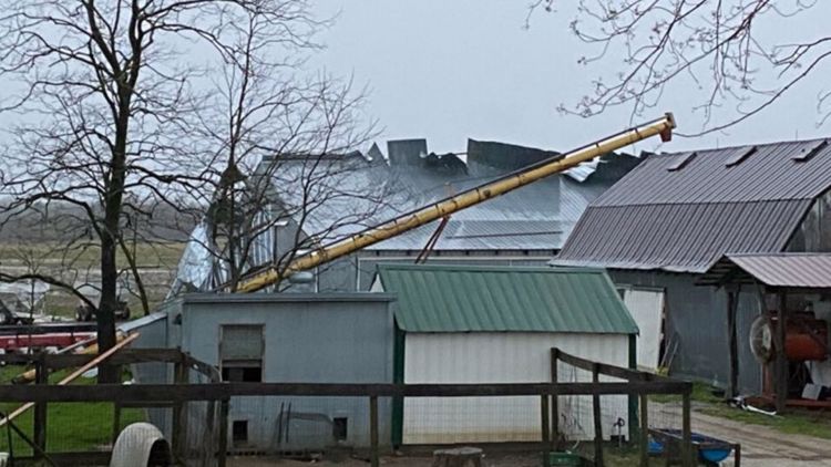
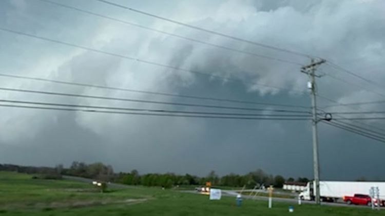
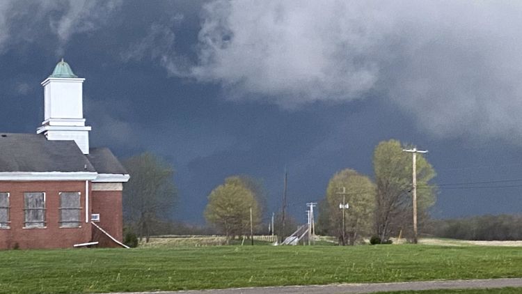
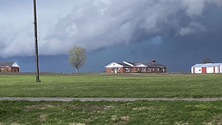
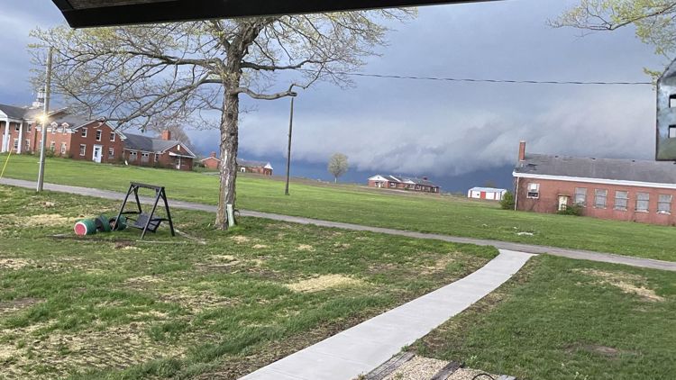
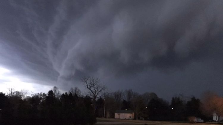
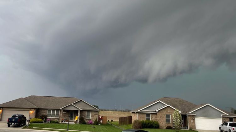
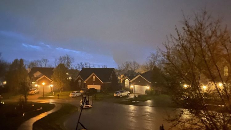
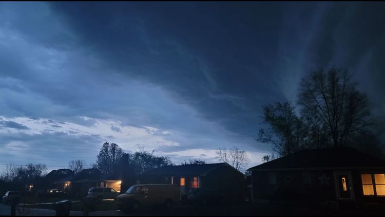
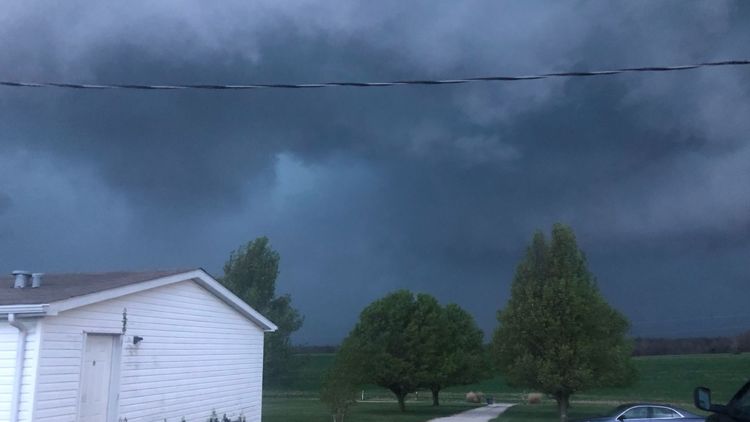
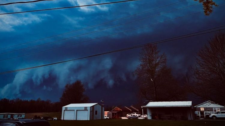
PHOTOS: Severe thunderstorms, possible tornadoes hit Kentucky, Indiana


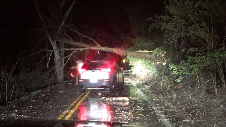


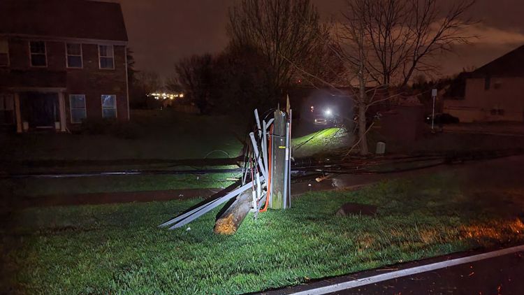


Ron Dodson with Meade County EMA said there were trees down around the area and around 500 people were without power Wednesday.
Bryce Schumate with Hardin County EMA said a shed lost its roof around the Eastview Area and a transformer caught on fire Wednesday. There was an additional report of baseball-sized hail causing an EMS driver to pull over in Radcliff.
RELATED STORIES
Make it easy to keep up-to-date with more stories like this. Download the WHAS11 News app now. For Apple or Android users.
Have a news tip? Email assign@whas11.com, visit our Facebook page or Twitter feed.