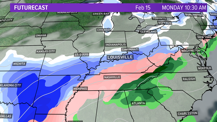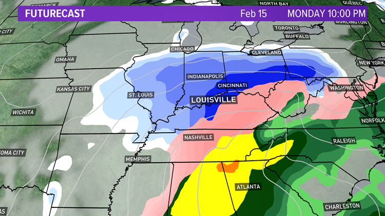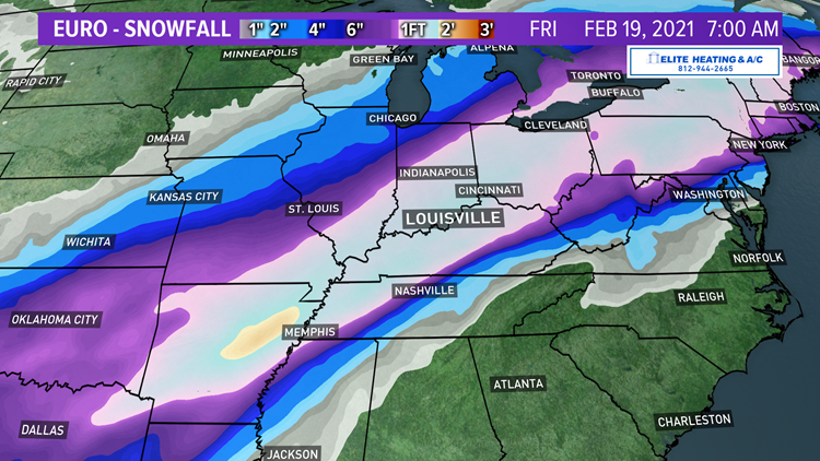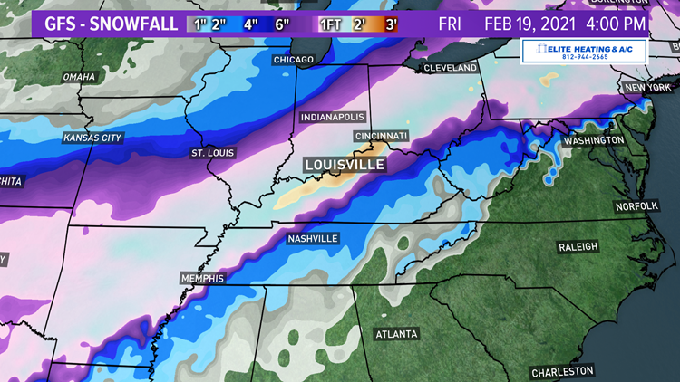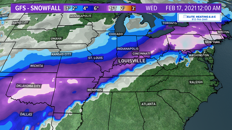
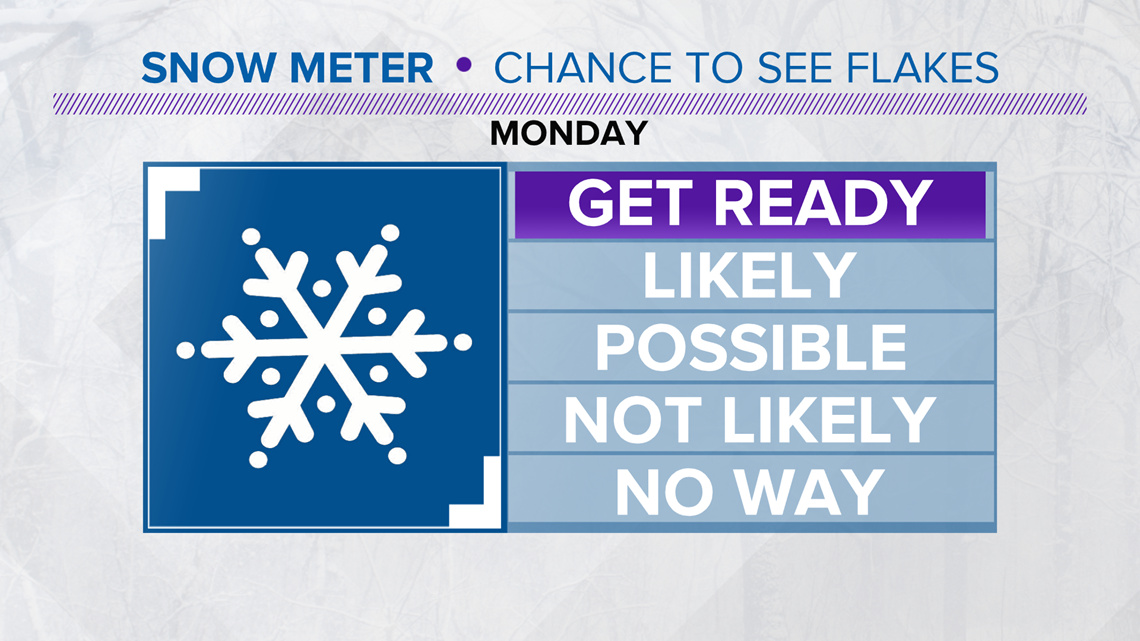
Models are still very consistent with significant snow on the way Sunday night through Monday night. The heaviest snow is expected Monday afternoon through Monday night. Much of the data is suggesting 4-8" snowfall totals for much of our region for Monday's winter storm. We could see lighter amounts southeast.
That doesn't seem far fetched with cold air in place and the current expected storm track. With that said, snow total fine-tuning will continue over the next couple of days as usual. As I like to say, we won't know exactly how much will be on the ground, until it's on the ground. The data is looking pretty solid for now though.
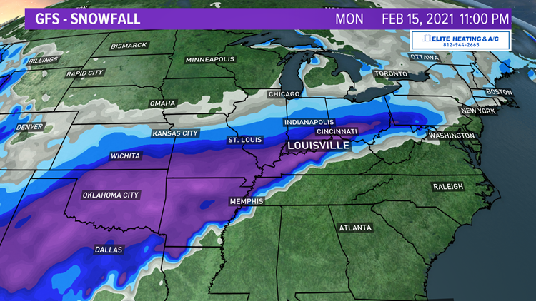
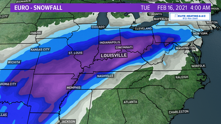
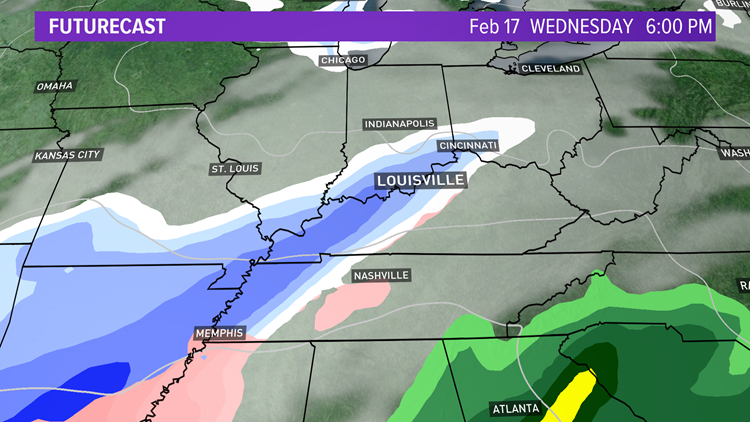
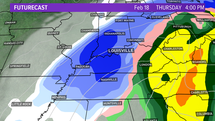
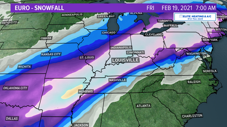
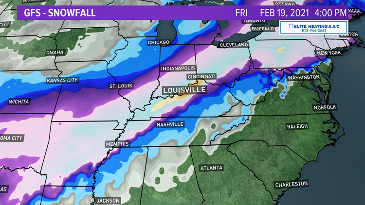
Speaking of data, there's been a lot of discussion about weather model data recently, and they're usually is this time of year. You can see the EURO, GFS and now the shorter range model the NAM all showing the snow accumulation across the region for Monday.

This weather model data is always free to the public since we all pay for it with our taxes.
If you are not a professional meteorologist, there's no crime in looking at it, and you don't even need a login or password. I encourage you to have fun and look at the data, all of it, short-range and long-range.
You'll tend to notice the farther out you go, the more the models diverge and accuracy goes down. Navigating all of the different models can be confusing, and if you have any questions, when I have time, I'm happy to comment and help with answers. If you're a weather enthusiast or just somewhat interested, have fun looking at the long-range data and watch as the information evolves and changes over time.

I'd like to give you guys some of my favorite weather model links so you can check out the data yourself. You certainly don't have to have a meteorology degree to enjoy this information. In fact, I am helping with an elementary STEM (science, technology, engineering and mathematics) program and will have the students look over the weather model data and make a forecast of their own. Who knows...looking at this information may inspire some to want to become a meteorologist someday! The most common models are the GFS and European for longer range outlooks, the NAM, HRRR, RAP are shorter range, among many other models.
So enjoy!
Ben Pine
for severe weather