Our weather pattern has been cold and quiet lately, but a more active (stormier) pattern is looking more likely as we approach Christmas day.
The ingredients for the busier weather pattern for the weekend leading up to Christmas include jet stream energy right over the region, plus what we call a "Baroclinic Zone" or a region of rapidly changing temperatures. These features will likely create a storm system within a few days before Christmas.
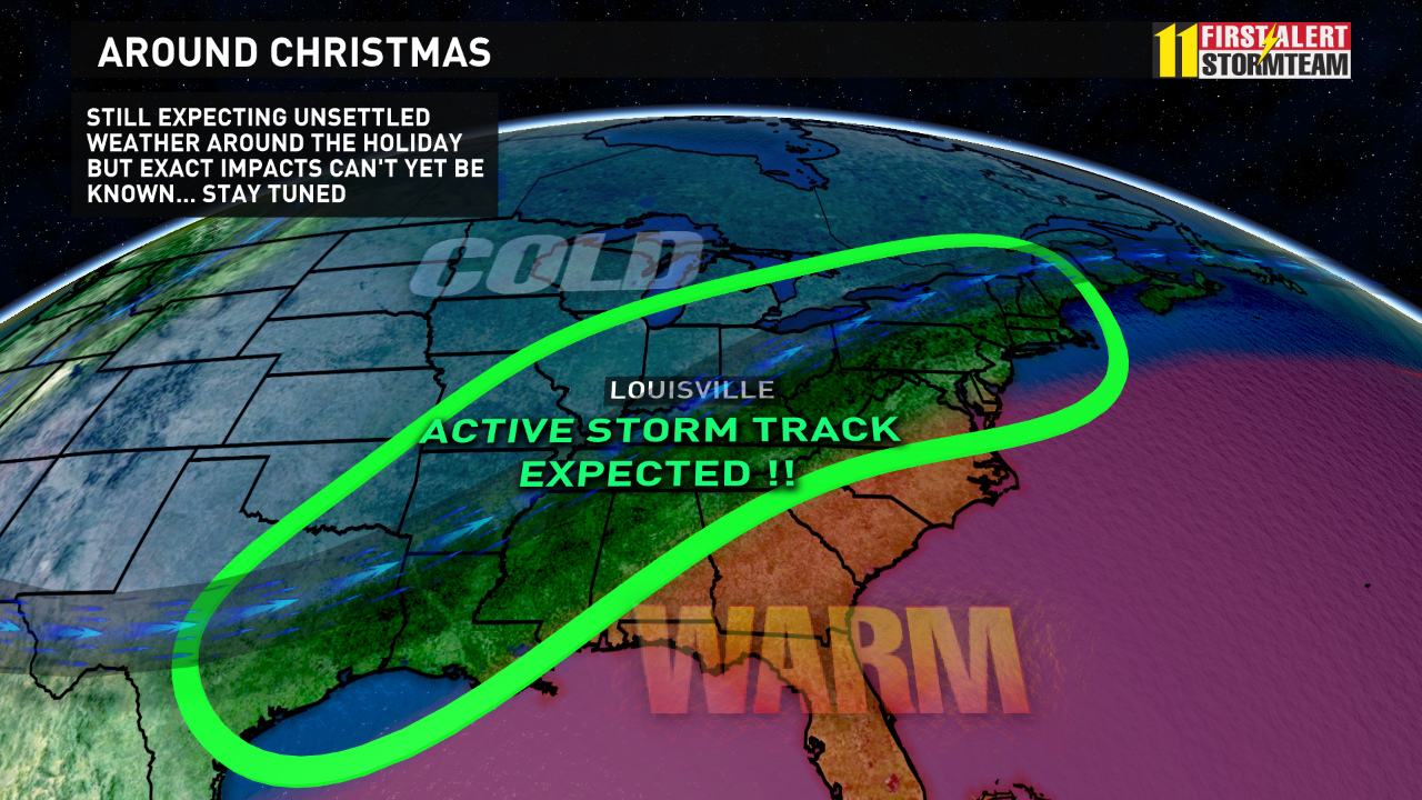
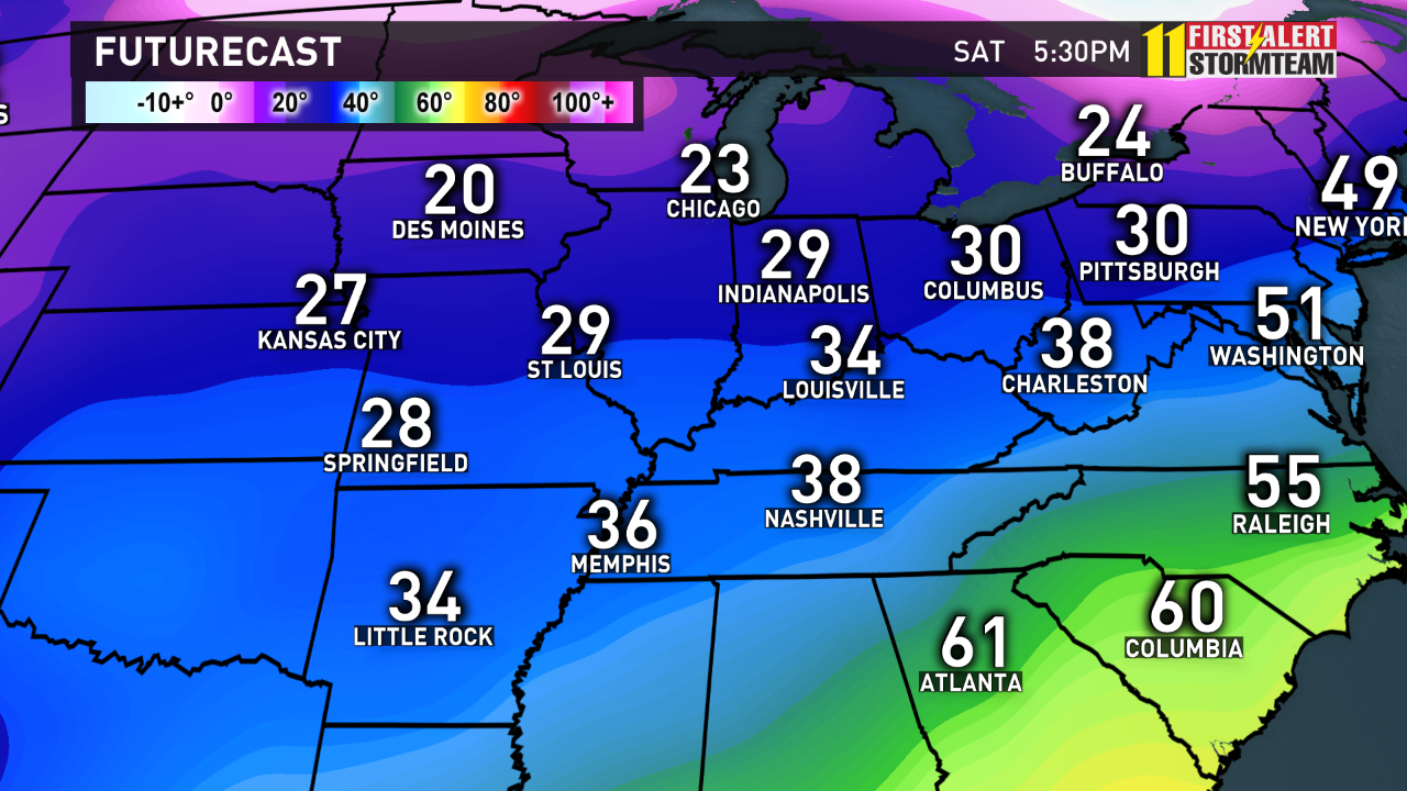
The big question of course - will that storm system bring rain, snow, ice, or a mix!?
And, that is exactly what we don't know for sure at this point. We have high confidence that our weather pattern will turn more active, and we will have precipitation, but low confidence in the type of precipitation.
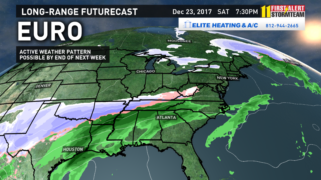
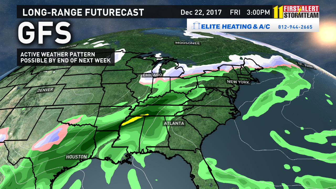
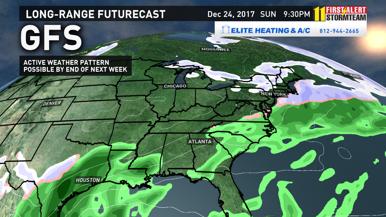
Take a look below at the two scenarios below from the EUROPEAN Weather Model and the GFS Weather Model below. If you're looking for a White Christmas, the EURO solution is what you want! The GFS brings rain in sooner, then pushes the system south, and we end up drier.
For now, we'll just have to wait for better data and we'll be fine-tuning the forecast day-by-day! As we often say... stay tuned!
EUROPEAN WEATHER MODEL:
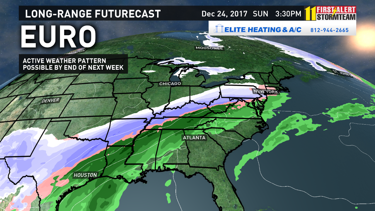
GFS WEATHER MODEL:
Any small change in the temperature profile across our region will change the type of precipitation that eventually occurs late next week!
- Chief Meteorologist Ben Pine @WHAS11Ben Facebook