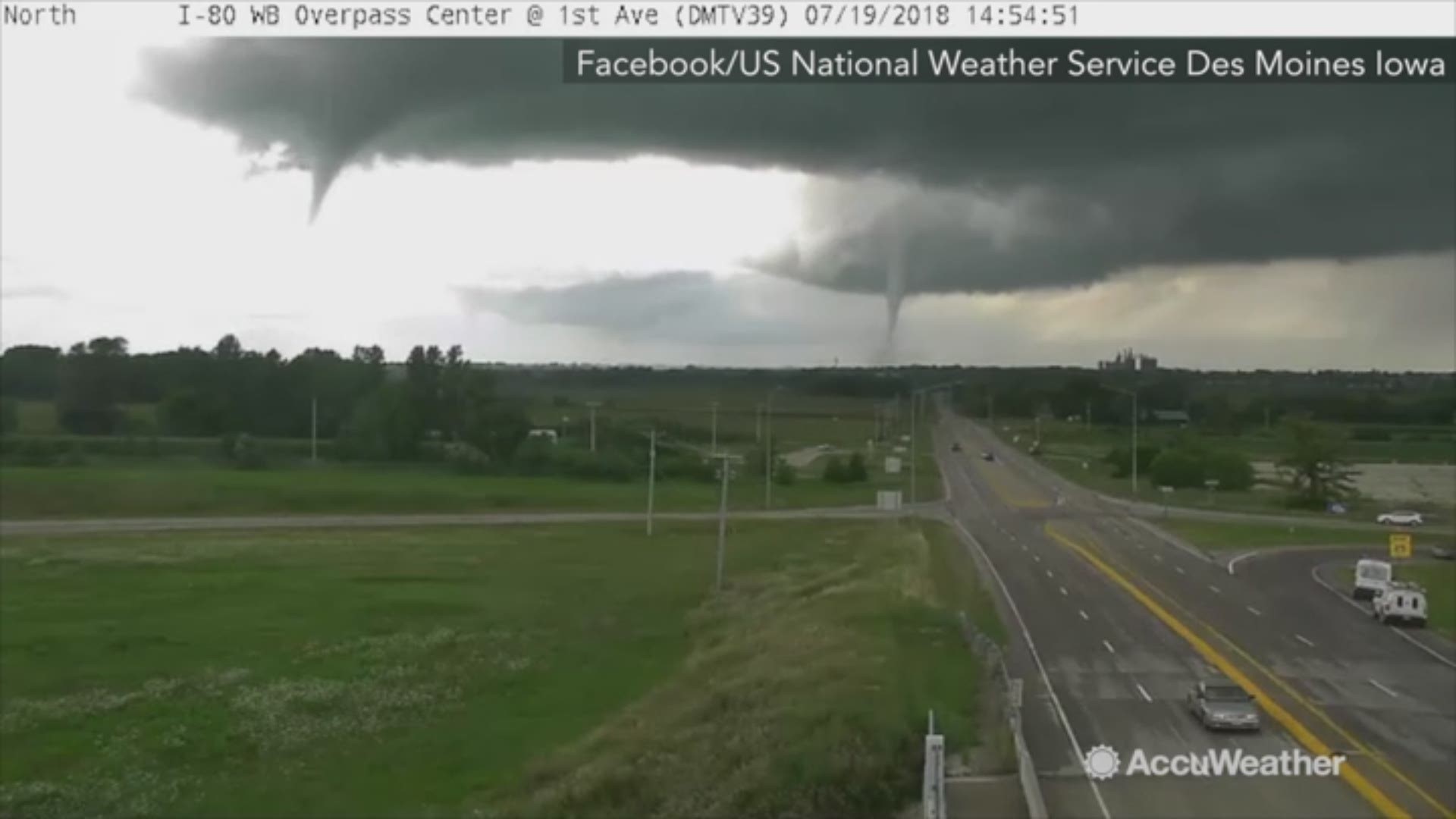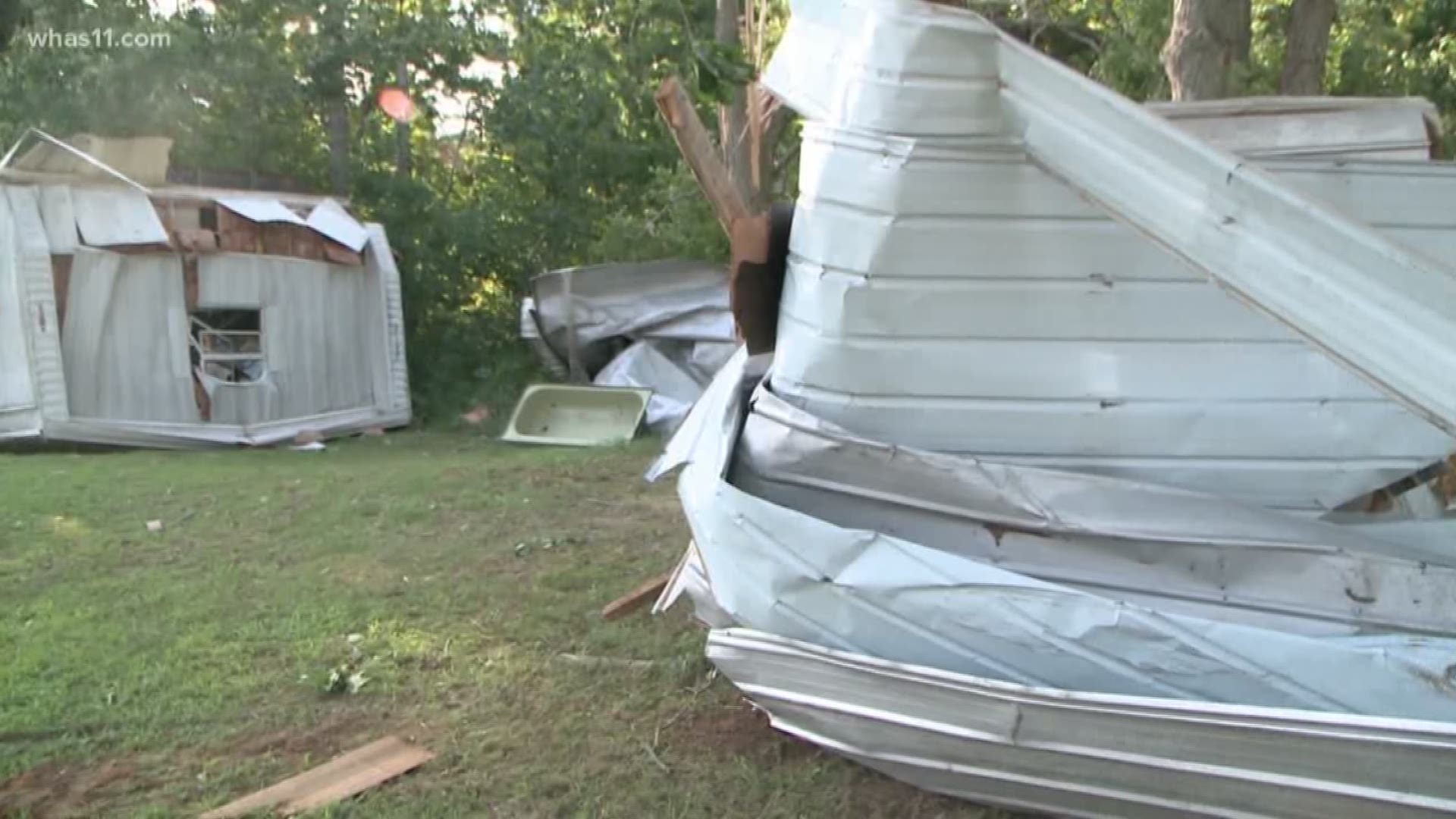
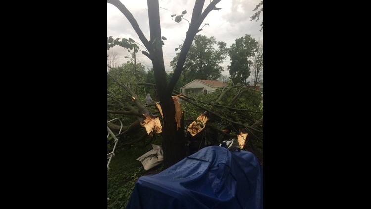
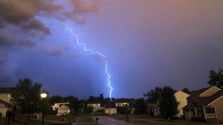
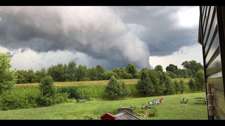
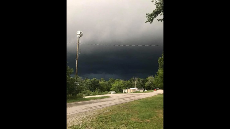
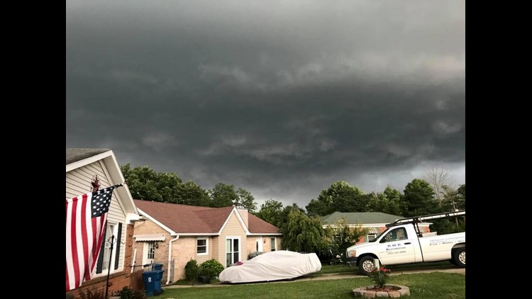
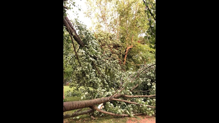
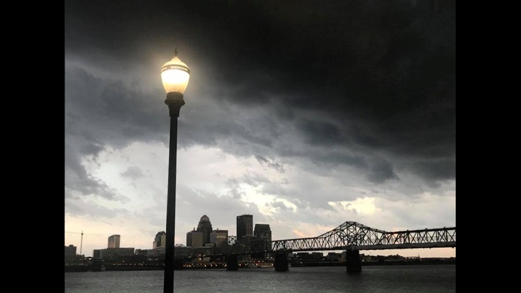
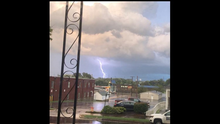
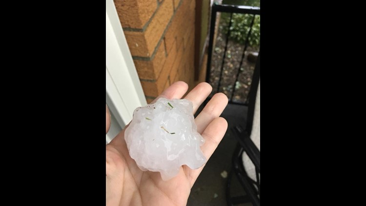
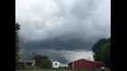
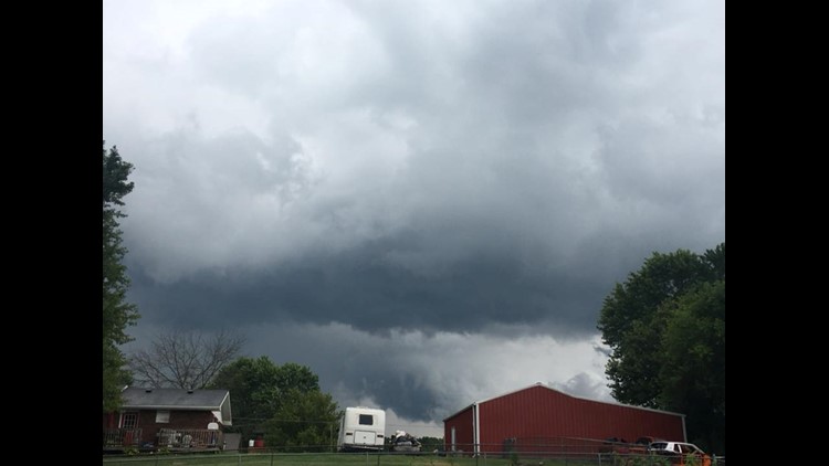
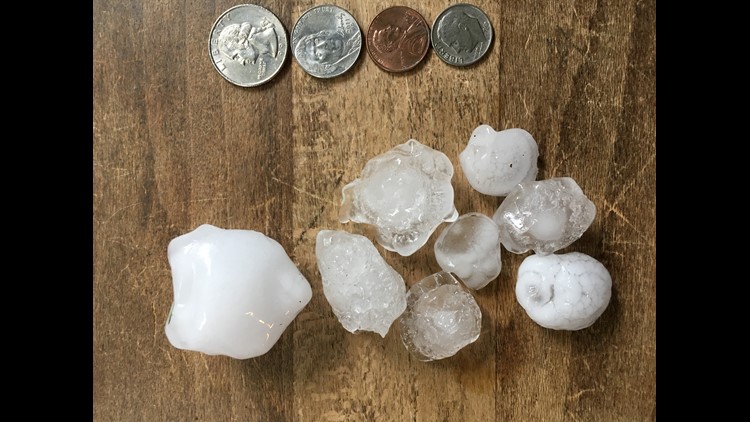
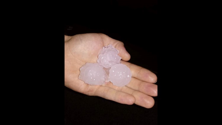
Louisville, KY (WHAS11) - The National Weather Service has confirmed that an EF-1 tornado touched down just southwest of New Middletown in Harrison County yesterday. This tornado was said to have winds up to 105mph. The storms yesterday also brought very large hail and wind damage. The largest hail report the National Weather Service received was 4-inches in diameter (Softball size). The strongest wind gust recorded was 70 mph at the Lexington Bluegrass Airport.
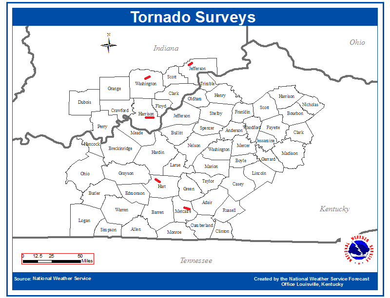
This is a map of the areas the National Weather Service is surveying for damage:
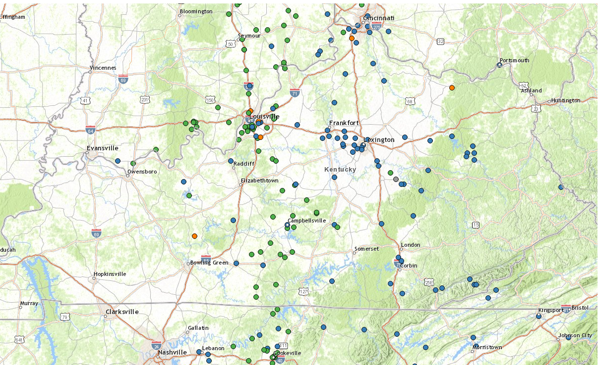
This is a map of storm reports from around the area
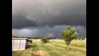
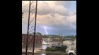
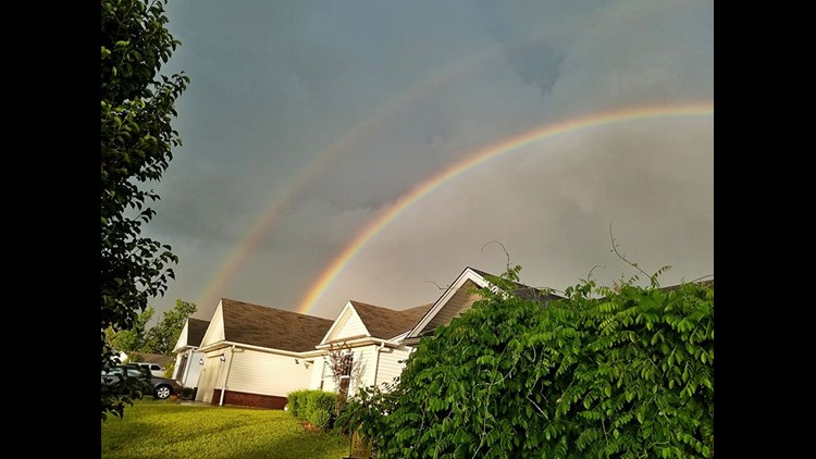
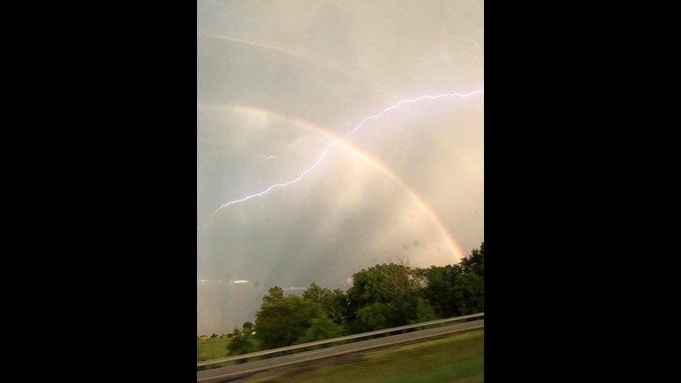
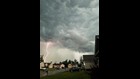
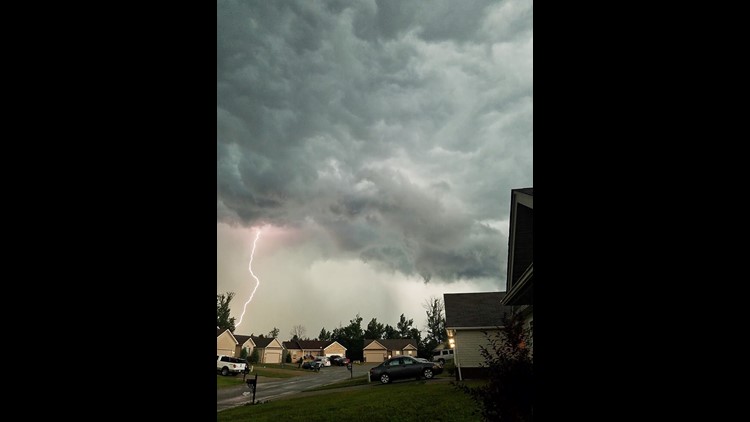
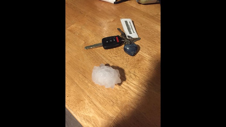
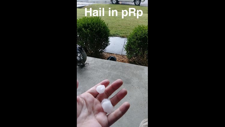
GALLERY: Hail falls around Kentuckiana as severe weather moves through


Enhanced Fujita Scale:
The Enhanced Fujita Scale or EF Scale, which became operational on February 1, 2007, is used to assign a tornado a 'rating' based on estimated wind speeds and related damage. When tornado-related damage is surveyed, it is compared to a list of Damage Indicators (DIs) and Degrees of Damage (DoD) which help estimate better the range of wind speeds the tornado likely produced. From that, a rating (from EF0 to EF5) is assigned.
The EF Scale was revised from the original Fujita Scale to reflect better examinations of tornado damage surveys so as to align wind speeds more closely with associated storm damage. The new scale has to do with how most structures are designed.
EF-0
3 Second Gust (mph) 65-85
EF-1
3 Second Gust (mph) 86-110
EF-2
3 Second Gust (mph) 111-135
EF-3
3 Second Gust (mph) 136-165
EF-4
3 Second Gust (mph) 166-200
EF-5
3 Second Gust (mph) Over 200